United States Geography PowerPoint Template & Google Slides
United States Geography Presentation Slide
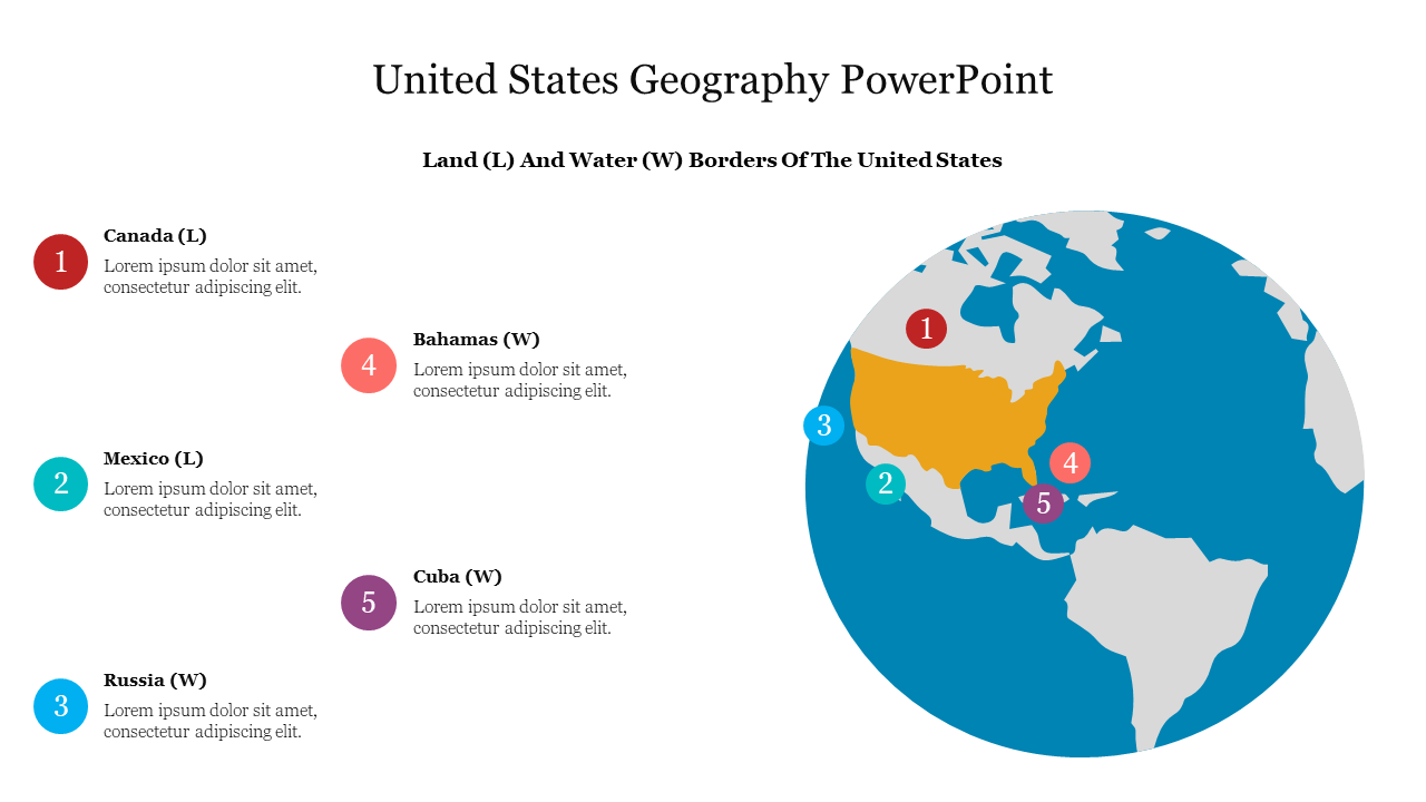
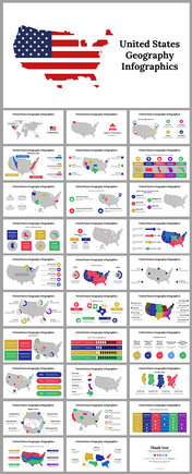
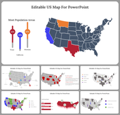
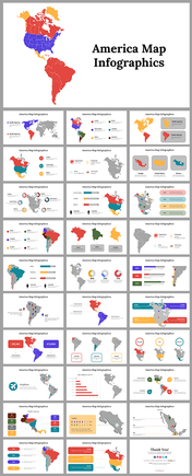
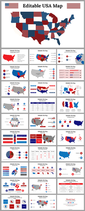
United Nation Geography helps to comprehend the physical and cultural aspects of different regions and nations, and how these impact economic, political, and social development. Here, we are offering the instant slides on United Nation geography with interesting globe and map illustrations. Here several regions are mentioned with specific alphabetical letters L and W, where L denotes the land and W denotes the water. This helps in show the boundaries of US very clear. Why can't you try this slide to present on geographical boundary of US delicately.
Features of the template
1. 100% customizable slides and easy to download.
2. Slides available in different nodes & colors.
3. The slide contained 16:9 and 4:3 formats.
4. Easy to change the slide colors quickly.
5. It is a well-designed presentation template.
6. Attractive, eye-catching colorful slide.
7. Compatible with google slides and MS PowerPoint.
8. It has five nodes with regions name.
