Creative Map Of The Continents PPT And Google Slides
Editable Continents Map PowerPoint Template
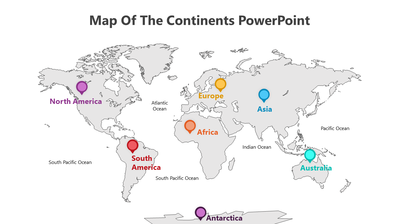
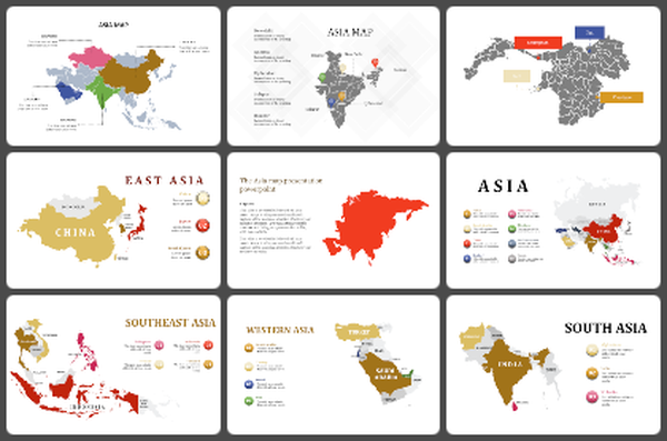
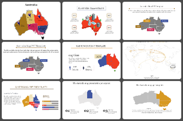
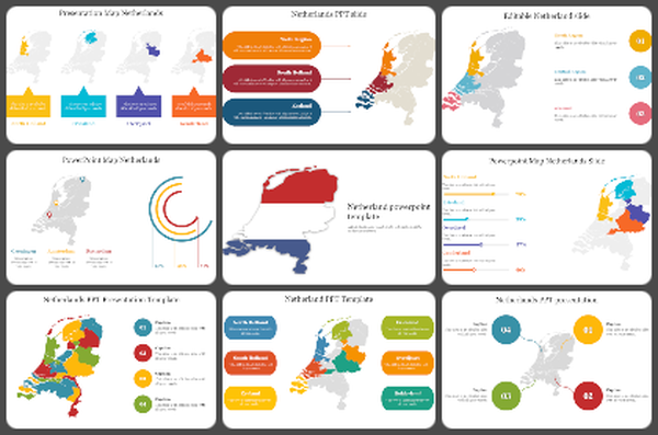
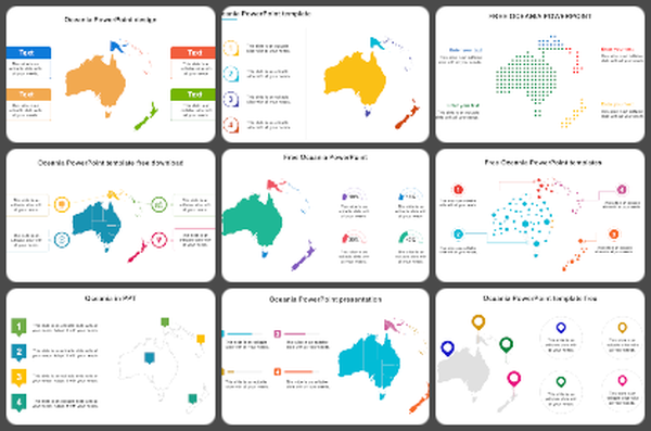
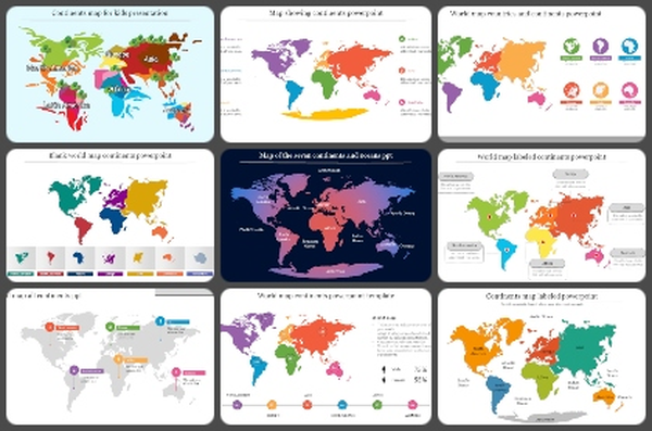
A continents map visually represents Earth's major landmasses, showcasing diverse topography, climates, and cultures. It serves as a valuable tool for understanding global geography, fostering awareness of spatial relationships, and appreciating the planet's rich diversity. Ideal for geography teachers, travel enthusiasts, and educators looking to enhance their geography presentations. This template offers a fully editable and visually appealing platform to showcase continents, countries, and geographical data. Its versatility ensures seamless customization, making it suitable for a range of topics, from geography lessons to travel presentations. All slides are meticulously designed to captivate your audience, providing a valuable resource for educators, travel bloggers, and anyone sharing insights about the diverse continents. This continents map PPT features a multicolor theme and offers twelve customizable options. Encourage your audience to utilize this template, emphasizing its potential to elevate geography presentations and foster a deeper understanding of the world. Download now to embark on a captivating exploration of continents, enriching your presentations with both knowledge and visual allure.
Features of this template
- 100% customizable slides and easy to download.
- The slide contains 16:9 and 4:3 formats.
- Easy to change the colors of the slide quickly.
- Highly compatible with PowerPoint and Google Slides.
You May Also Like These PowerPoint Templates
Free
