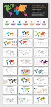
printable continent map PowerPoint presentation PPT
Printable World Map PowerPoint Presentation
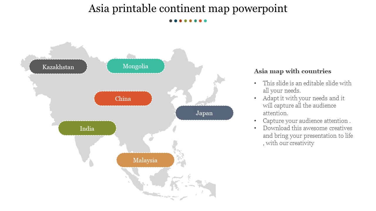
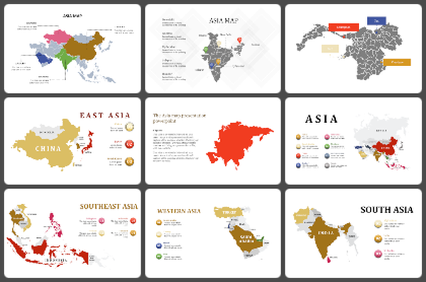
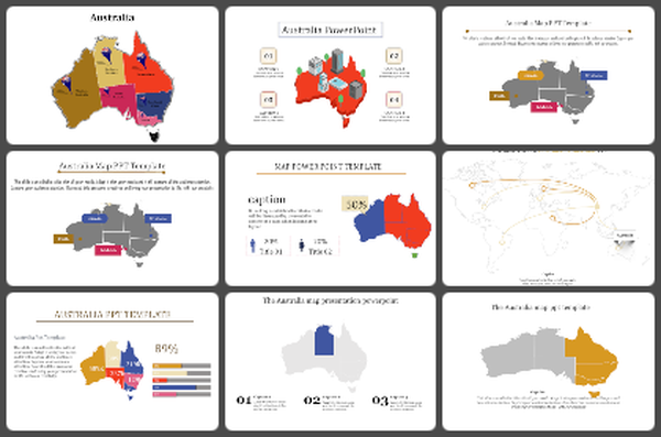
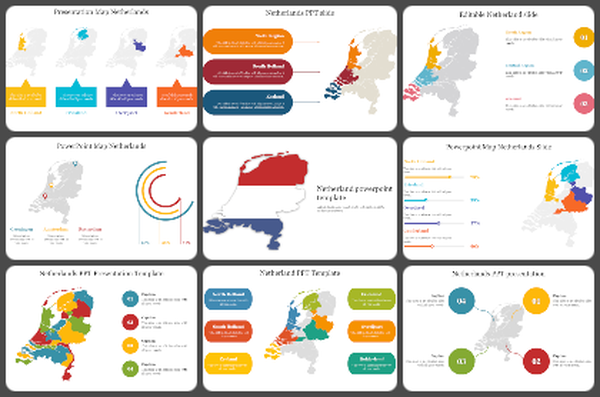
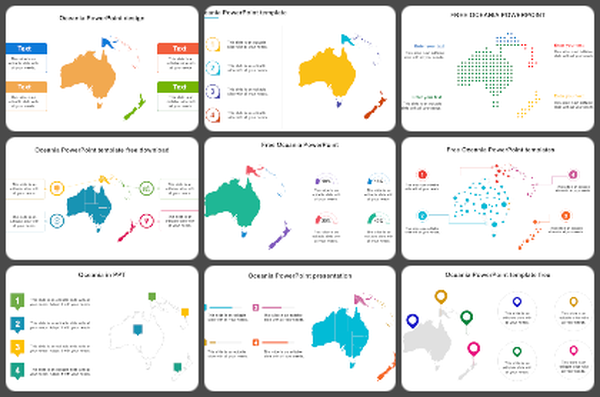
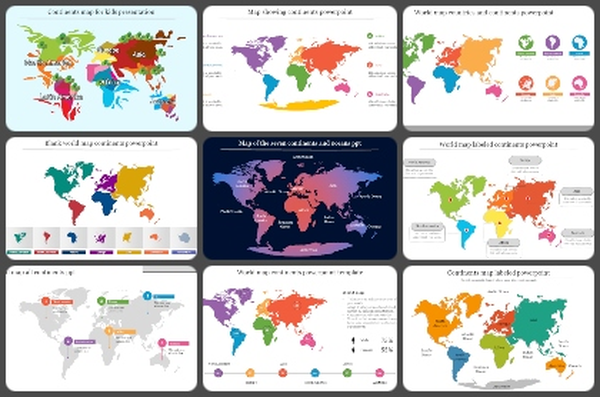
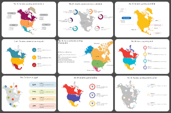
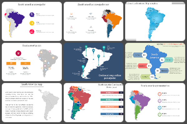
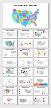
A handy and easy way to get a quick overview of what's going on around the world is to view a printable continent map. There are many advantages of using a downloadable version of a printed map. You can save money by purchasing a professionally printed map, which is usually expensive. You can save on shipping time off office space if you are interested in getting this done yourself. The entire printable continent map package is generally less than a half-hour in length. This Printable Continent Map Powerpoint is colored with gray color. They highlighted the names of the continents with rounded rectangle shapes. The shapes are colored with gray, blue, green, orange, yellow. To use the printable continent map PowerPoint presentation, you will first need to download and install the PPT presentation program onto your computer. The free PowerPoint download program that comes with your operating system can be used to do this. Next, you will need to open the graphics program by clicking on the Programs icon in the Control Panel. Finally, click on View then Add->Graphics Program to locate the graphics program that you want to use to display the printable continent map.
Features of this template:
100 % customizable slides and easy to download.
Slides available in different nodes & colors.
The slide contained in 16:9 and 4:3 format.
Easy to change the slide colors quickly.
Well-crafted template with instant download facility.
The clear layout of this template will help you to design a professional-looking presentation.
The multi-color visuals of this slide will make your presentation eye-catching.
