Printable Blank Continent Map PPT And Google Slides
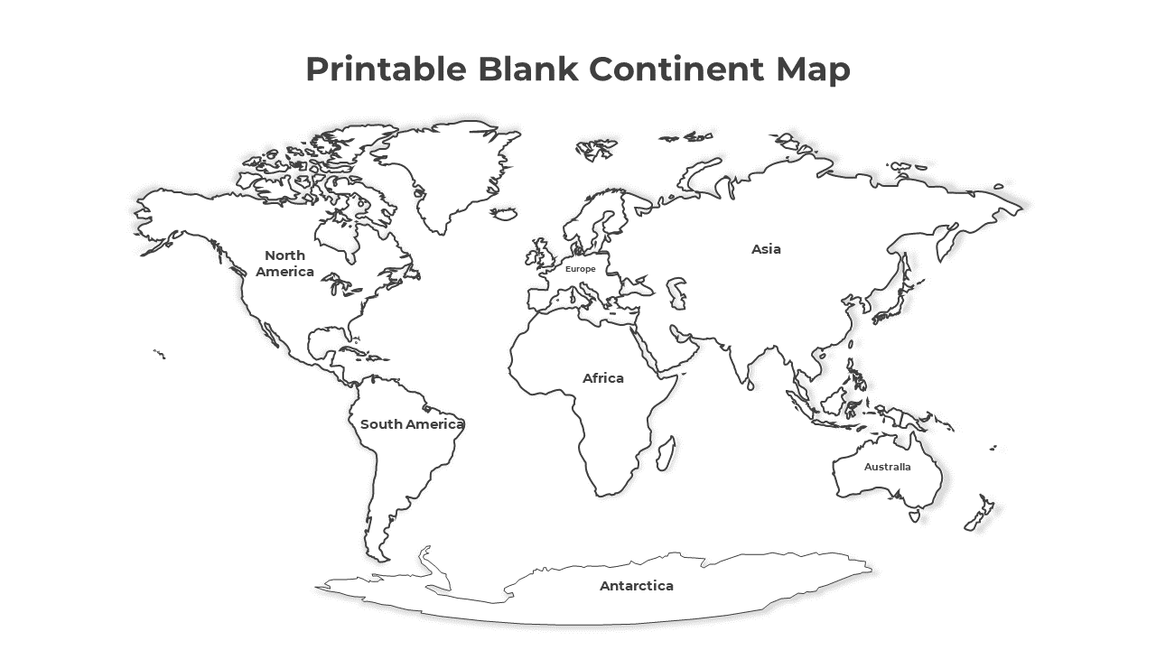
Editable Blank Continent Map PowerPoint Slide
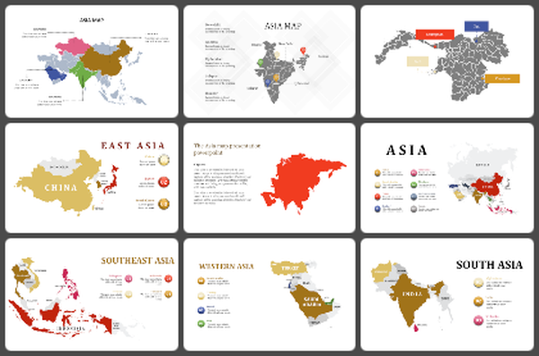
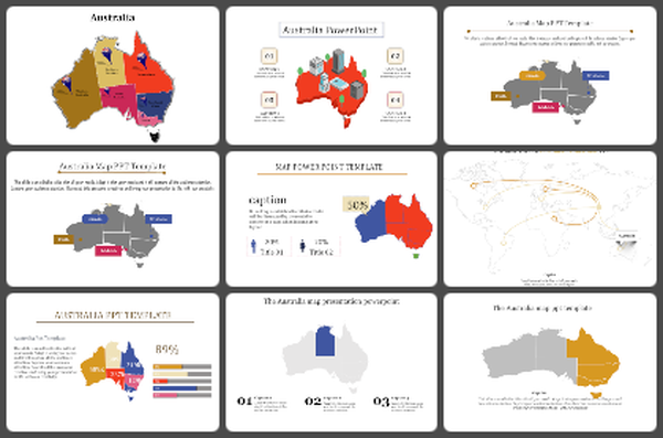
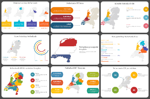
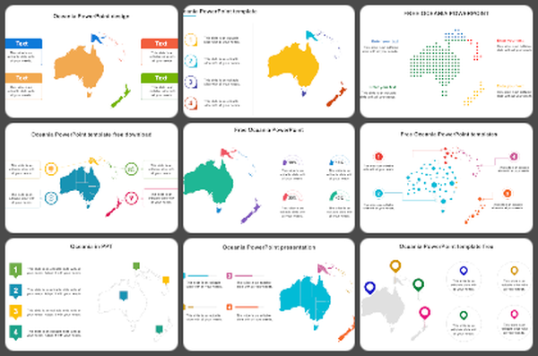
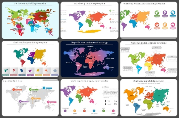
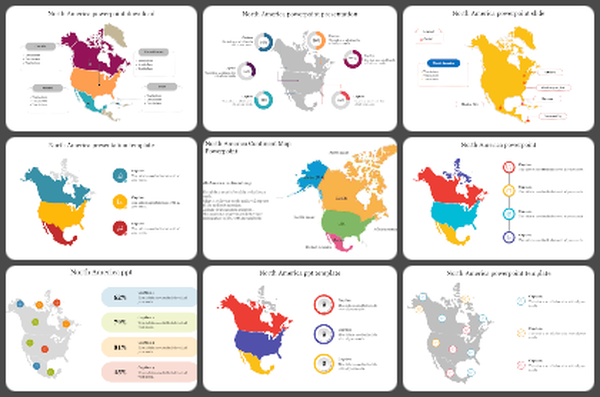
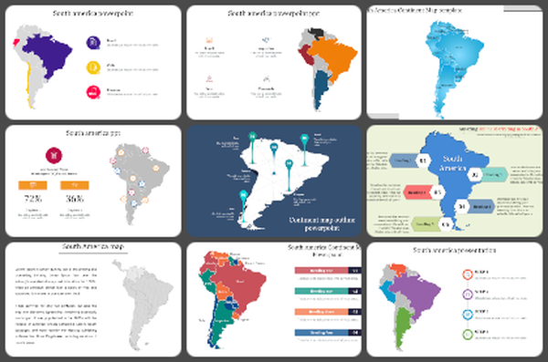
Explore the world effortlessly with printable blank continent maps, offering a simplified yet comprehensive view of global geography. These maps are invaluable for various purposes, from educational endeavors to travel planning and geographic analysis. Designed with simplicity and clarity in mind, they enable users to visualize geographical features, study population distribution, and understand spatial relationships between countries and regions. Whether you're a student, teacher, researcher, traveler, or professional, these maps serve as essential tools for gaining insights into the diverse landscapes and cultures of our planet. Our PowerPoint template featuring blank continent maps offers unmatched convenience and flexibility for creating engaging presentations. Tailored for educators, researchers, and professionals across different fields, this template allows users to craft customized visual aids, worksheets, and study materials with ease. With fully editable slides, users can add labels, annotations, or color-coding to enhance their presentations. This template empowers presenters to deliver compelling and informative content, facilitating better understanding and retention of geographical concepts. Additionally, it encourages active participation and engagement among the audience, fostering a deeper appreciation for global geography. Seamlessly integrate these printable maps into your presentations and unlock a world of educational and analytical possibilities. Download now and embark on your journey of exploration and discovery!
Features of this template
- 100% customizable slides and easy to download.
- The slide contains 16:9 and 4:3 formats.
- Easy to change the colors of the slide quickly.
- Highly compatible with PowerPoint and Google Slides.
