250+ World Map Presentation Templates
Present global ideas with confidence using our 250+ editable World Map PowerPoint Templates, Google Slides, and Canva designs. Easily showcase business expansion, travel routes, regional analysis, country comparisons, geography lessons, demographic insights, and international projects with professional map visuals that are simple to customize and ready
Editor's Choice (1 of5)
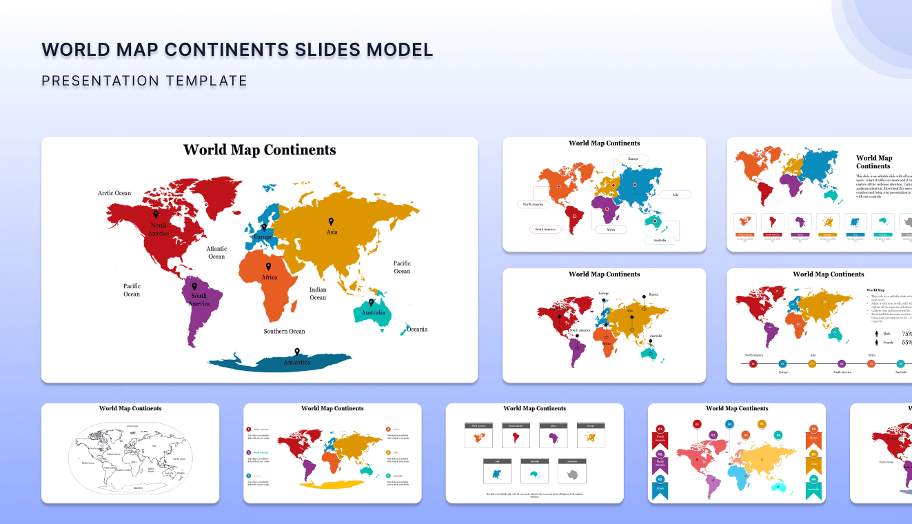
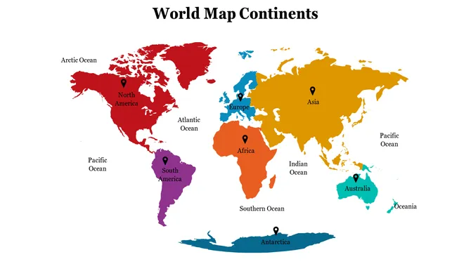
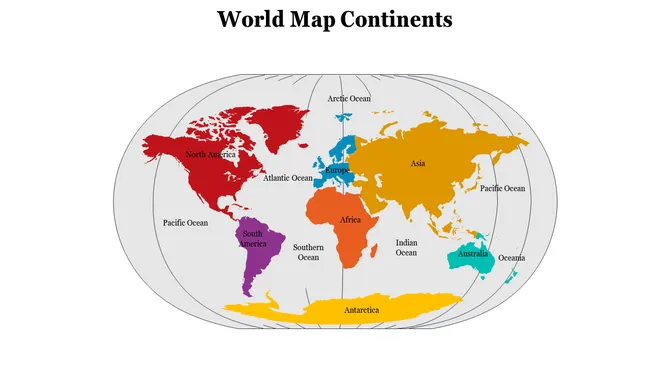
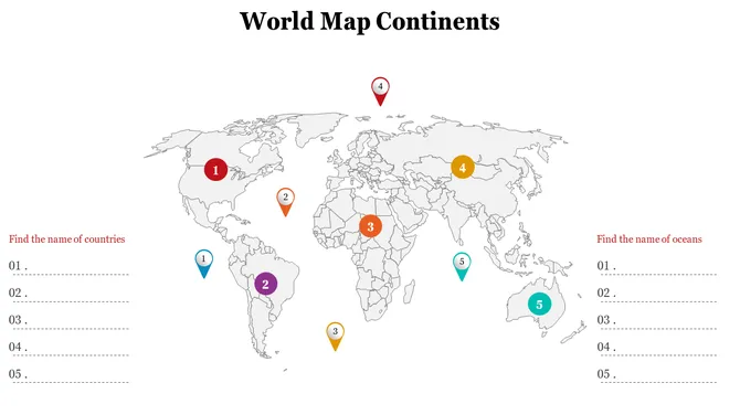
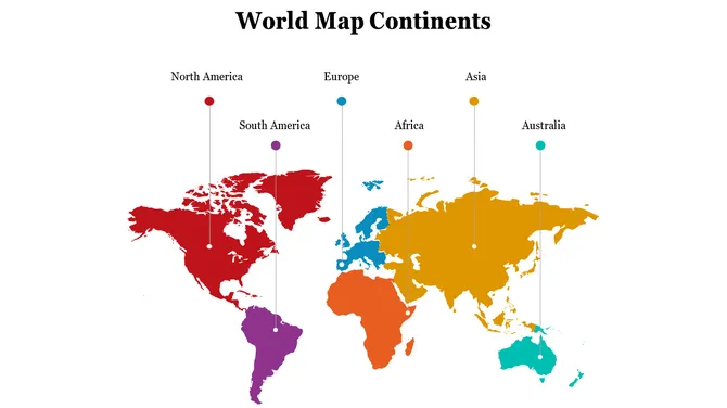
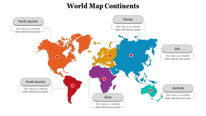
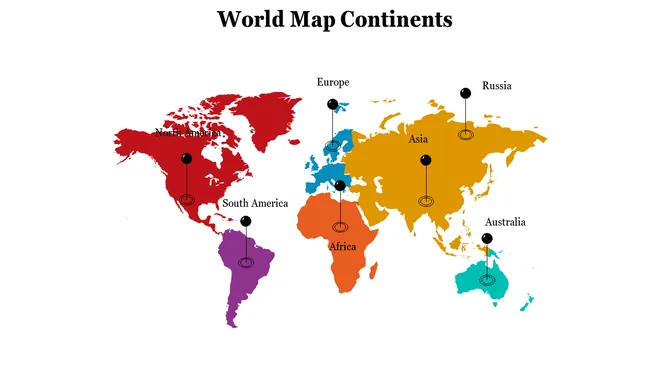
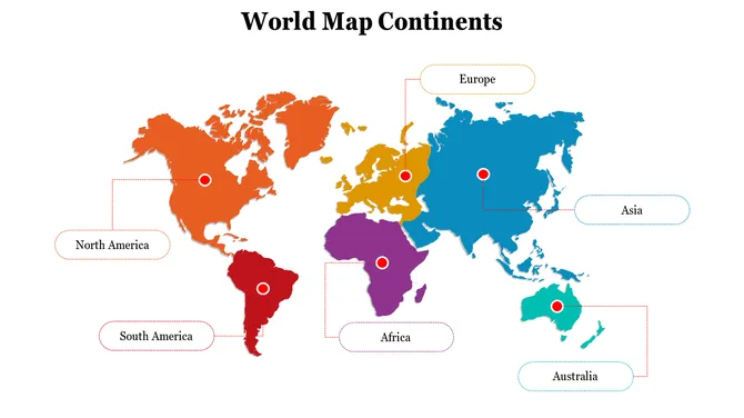
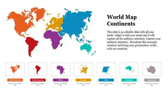
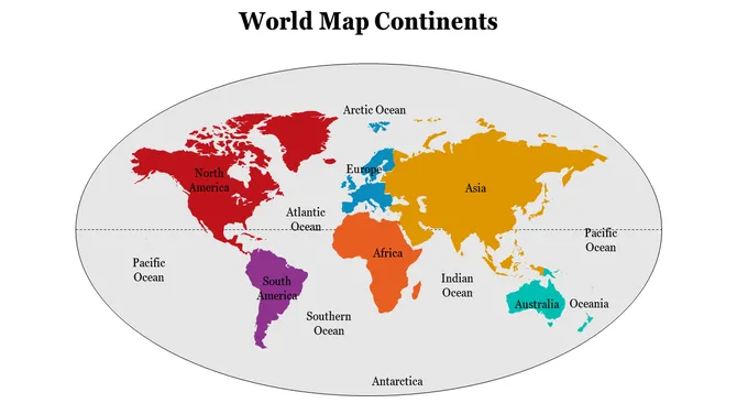
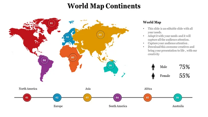
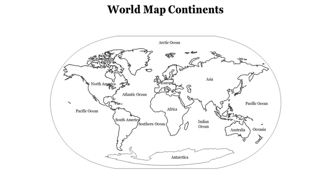
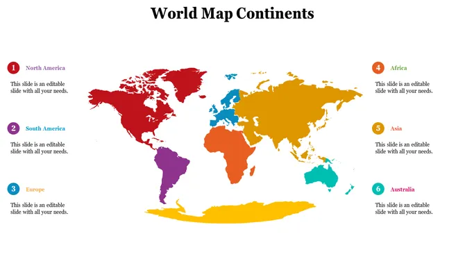
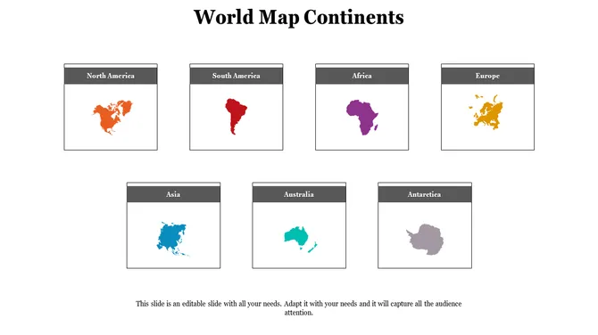
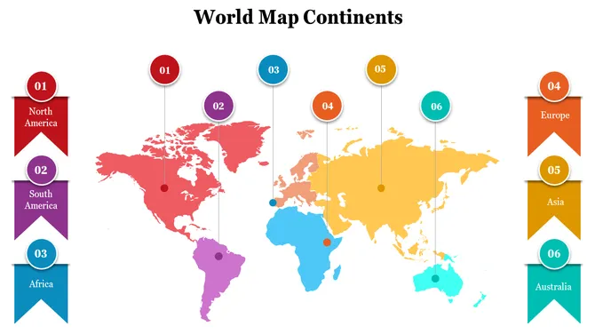
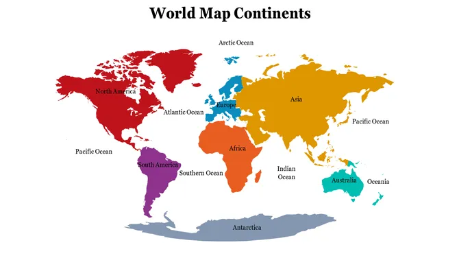
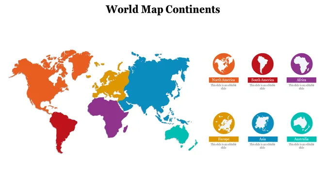
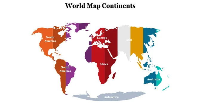
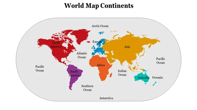
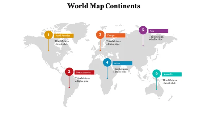
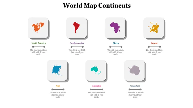
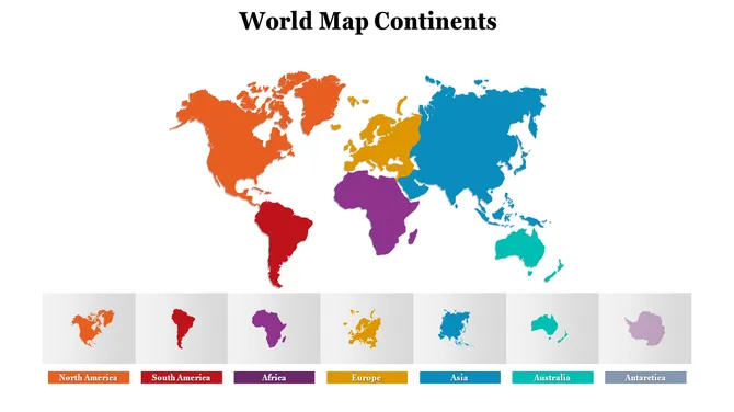
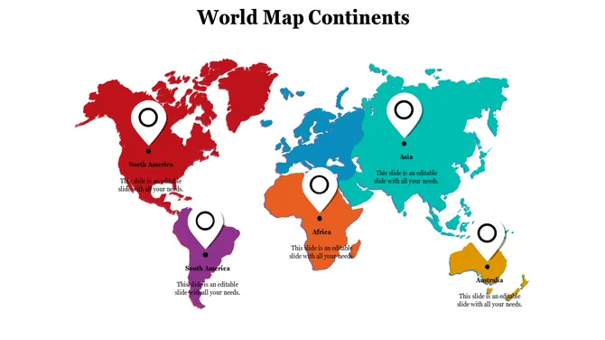
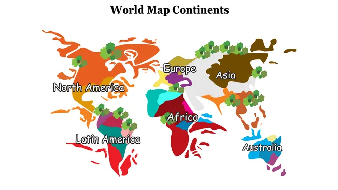
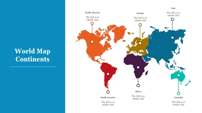
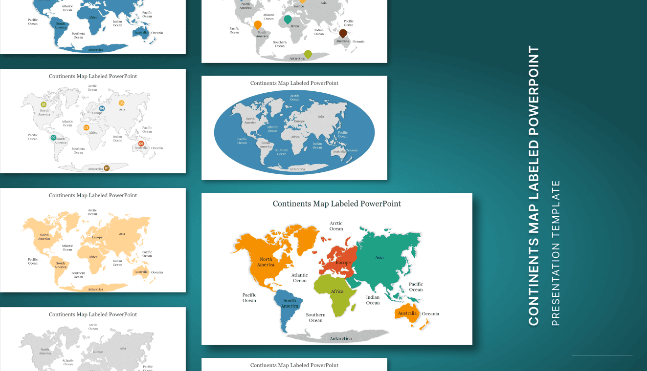
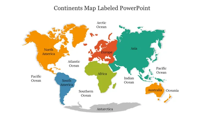
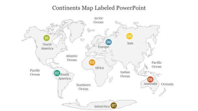
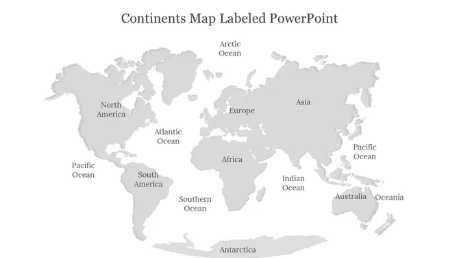
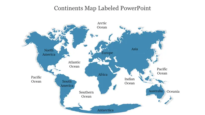
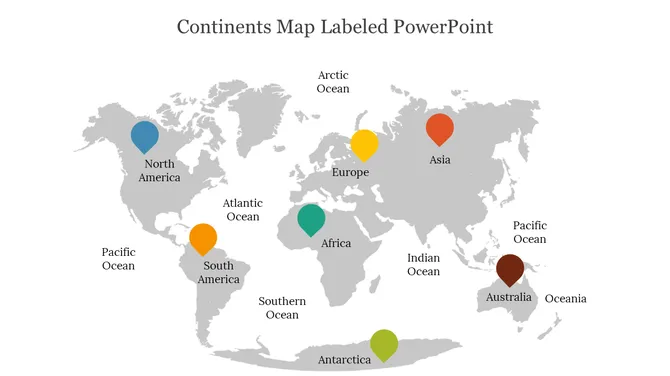
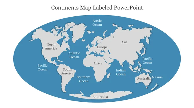
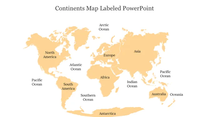
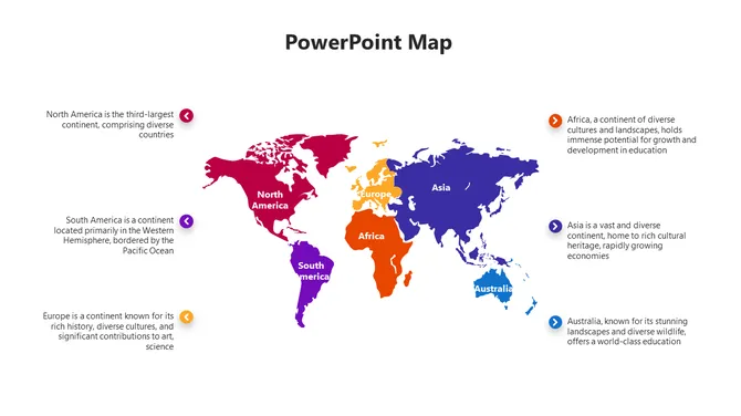
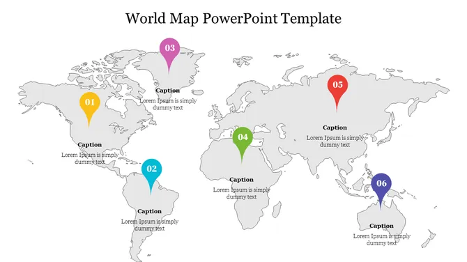
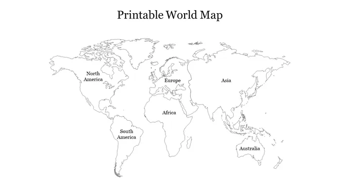
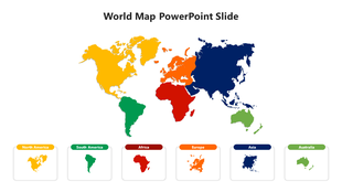
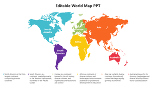
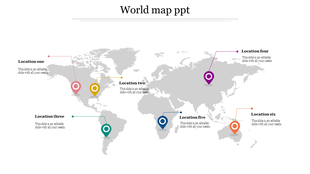
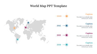
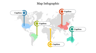
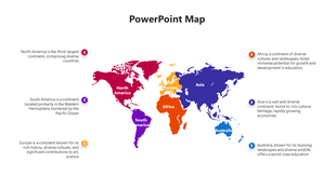
Editable world map continents slide showing the seven continents, major oceans, and labeled regions in a clear visual layout. Ideal for geography lessons, classroom activities, educational presentations, travel topics, and world geography projects.
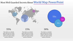
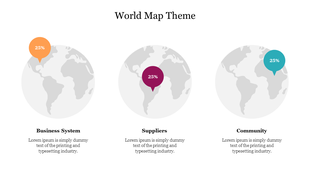
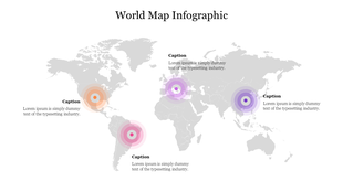
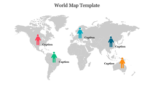
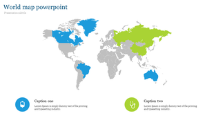
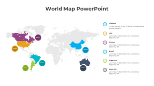
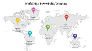
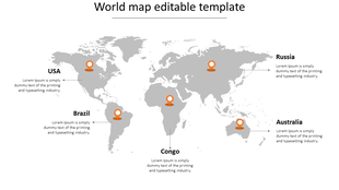
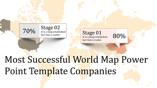
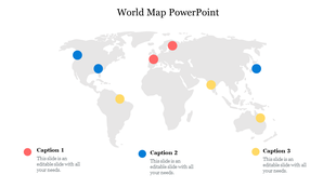
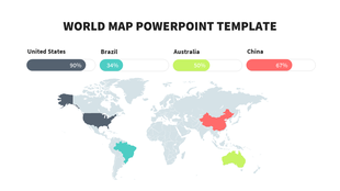
Showing48 of252


Editable World Map Templates for Presentations
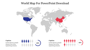
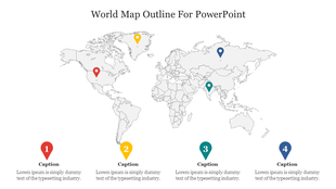
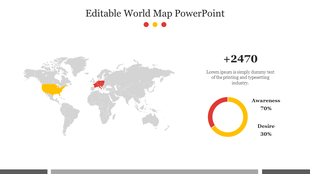
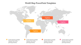
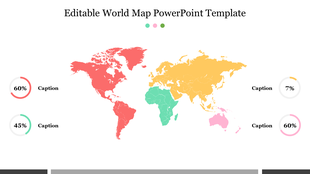
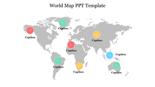
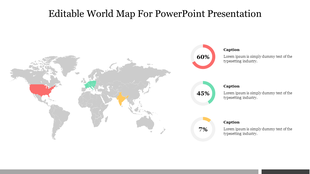
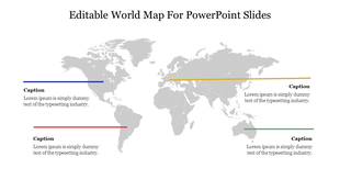
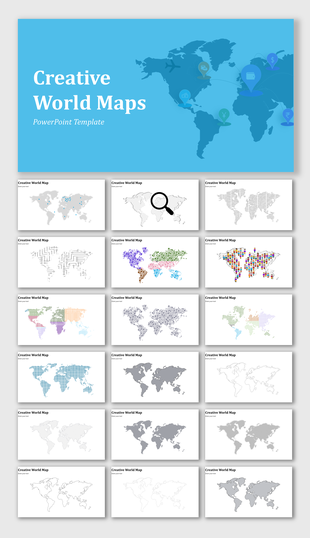
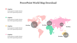
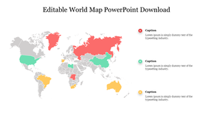
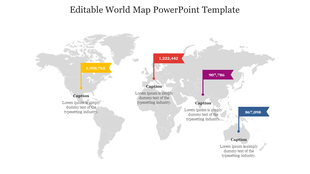
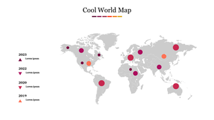
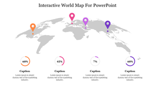
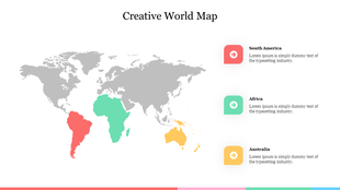
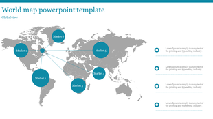
These templates are editable, so users can change colors, highlight countries, add location markers, label continents, insert icons, and adjust text based on their presentation topic. Instead of using a flat map image, presenters can create a more useful visual by customizing the map for their exact message.
Why Choose SlideEgg World Map Templates?
SlideEgg’s world map templates are designed for quick editing and clear presentation use. Users can download a ready-made map slide, replace the sample content, change the colors, add labels or markers, and use it within minutes. This helps presenters avoid building maps manually while still creating slides that look clean, organized, and relevant to their topic.
Use these templates when you need to explain global information, compare regions, show country-level data, map business operations, teach geography, or make location-based content easier to understand.
Types Of World Map Slides
Political World Map Templates
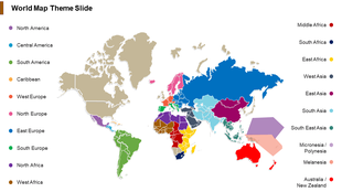
Use political world map templates to explain countries, borders, international relations, regional comparison, and geography topics in a clear visual format.
Business World Map Slides
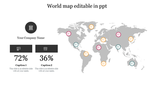
Use business world map slides to present global branches, market expansion, sales territories, customer distribution, supply chain routes, and international operations.
Editable Blank World Map PPT Templates
Use blank world map PPT templates when you need to manually highlight countries, add labels, mark travel routes, or create custom classroom map activities.
Continent Map Templates
Use continent map templates to explain Asia, Europe, Africa, North America, South America, Australia, Antarctica, and continent-level comparisons.
Asia Pacific Map Slides
Use Asia Pacific map slides for APAC market reports, regional business strategy, logistics coverage, education topics, and country-wise analysis.
Europe Map Templates
Use Europe map templates for European market analysis, country comparison, travel planning, branch mapping, and regional performance presentations.
World Map Infographic Slides
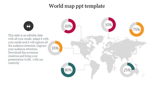
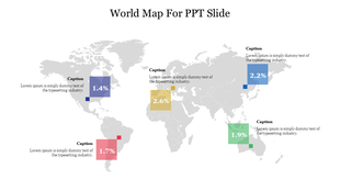
Use world map infographic slides to present global data, demographics, survey results, market share, regional growth, and location-based insights.
Printable World Map Templates
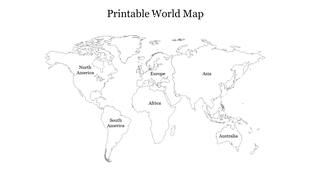
Use printable world map templates for classroom handouts, geography worksheets, offline planning, travel marking, and educational activities.
World Map Slides for Business, Education, Travel, and Data
World map templates are useful whenever a presentation depends on location. Business teams can show global branches, sales regions, market coverage, customer distribution, and supply chain routes. Teachers can explain continents, oceans, countries, time zones, and global events. Travel agencies can mark destinations, route plans, and tourism packages. Researchers and analysts can present demographic patterns, survey coverage, or international comparisons.
The collection includes blank world maps, labeled continent maps, printable world maps, world map infographics, country map slides, colorful maps, location marker templates, and business-focused global map layouts. These slides work for PowerPoint and Google Slides, making them suitable for offline presentations, classroom sessions, team meetings, and online collaboration.
Frequently Asked Questions
What are World Map PowerPoint Templates?
World Map PowerPoint Templates are editable map slides used to present countries, continents, regions, travel routes, global business locations, demographic data, and international comparisons.
Can I edit the countries and colors in these world map templates?
Yes. You can change colors, highlight countries, add labels, insert location markers, edit text, and customize the map based on your presentation topic.
Can I use these templates for business presentations?
Yes. These templates are useful for showing global branches, market expansion plans, sales territories, regional performance, customer distribution, supply chain routes, and international project updates.
Are these world map templates useful for teachers and students?
Yes. Teachers and students can use blank maps, labeled continent maps, printable world maps, and geography slides for lessons, school projects, quizzes, and classroom activities.
Do these world map templates work in Google Slides?
Yes. Many world map templates are compatible with Google Slides, making them useful for online editing, classroom collaboration, and team presentations.
Can I use blank world map templates?
Yes. Blank world map templates are useful for marking countries, drawing travel routes, labeling continents, showing migration paths, or creating custom geography activities.
What types of world map templates are available?
This category includes blank world maps, labeled maps, continent maps, printable maps, political maps, business map slides, world map infographics, location marker maps, and travel route templates.
Which template is best for marking countries manually?
Use a blank world map template. It gives you more control to mark countries, add custom labels, color-code regions, or create classroom and business-specific map activities.
How do I highlight selected countries in a world map template?
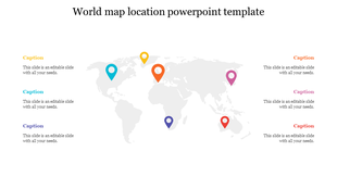
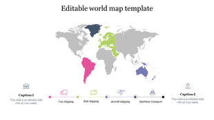
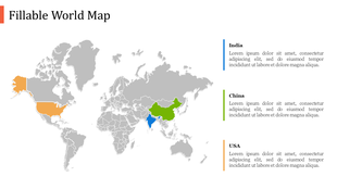
You can highlight countries or regions by changing colors, adding labels, or placing markers on the map. This works well for sales regions, target markets, business branches, travel routes, or country-wise comparisons.
Are these world map templates suitable for supply chain and logistics presentations?
Yes. These templates are useful for showing shipping routes, supplier locations, distribution hubs, import/export regions, and international logistics movement.