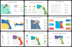
Egypt Map PowerPoint Templates are used to create presentations that focus on topics related to Egypt's history, geography, and culture. They may include maps of the country, its major cities, and key landmarks.
You can use these Egypt Map Slides to teach geography, for presentations about Egyptian culture, for creating maps for travel, and for various other educational, business, and personal projects.
Start by searching for an outline map and a detailed country map. Use presentation software such as Microsoft PowerPoint to create the slides. Insert the images you found in the first step into the slides. You can add text and other elements to explain the maps and highlight key features. Suppose you want to learn how to use the PowerPoint tool. Visit Tips and tricks for detailed instructions.
Anyone can use Egypt Map PPT Templates. These templates can be used by students, professionals, teachers, or anyone else looking to create a presentation related to Egypt.
Egypt Map PowerPoint Slides provide an overview of the country's geography. They can help people understand Egypt's different regions and cities and their major physical features, such as rivers, lakes, and deserts.
Many websites offer free Egypt Map PPT templates. Slide egg is one of the best PowerPoint providers. Our websites' uniquely designed templates help you show important archaeological sites' locations, tourist destinations, and other points of interest.