Free - Attractive PowerPoint Country Maps Slide Presentation
PowerPoint Country Maps and Google slides
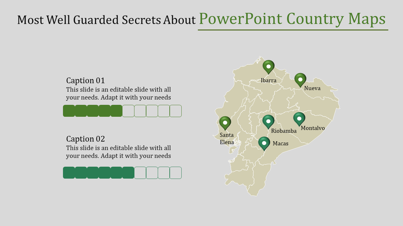
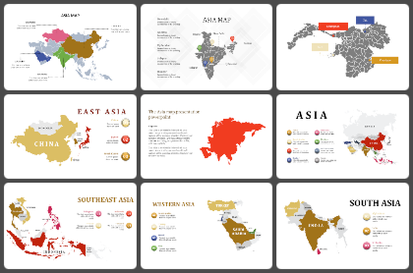
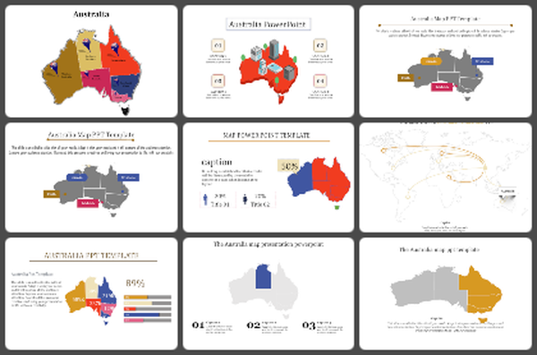
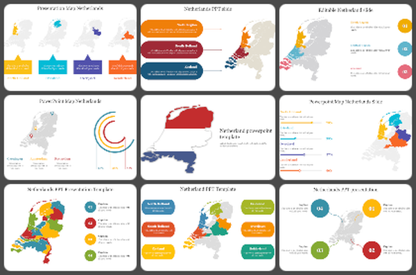
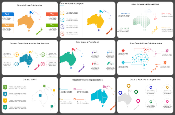
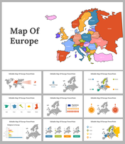
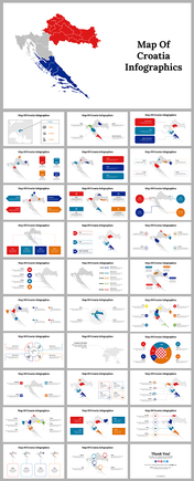
Step into the world of dynamic presentations with PowerPoint country maps, where every slide tells a unique story of global connectivity and strategic vision. With meticulously crafted map designs featuring six nodes of comprehensive geographical data, each presentation exudes professionalism and sophistication. The seamless integration of professional shades and colors not only captivates the audience but also reinforces the credibility of your message. Whether you're unveiling market insights, showcasing expansion strategies, or facilitating cross-cultural communication, these map PowerPoint presentations serve as your trusted companions in the boardroom and beyond. Transform mundane data into captivating narratives, as you navigate through continents and countries, fostering a deeper understanding of the interconnectedness of our world. Elevate your presentations from ordinary to extraordinary, harnessing the power of visuals and storytelling to leave a lasting impression on your audience.
Features of the template
- 100% customizable slides and easy to download.
- Slides are available in different nodes & colors.
- The slide contains 16:9 and 4:3 formats.
- Easy to change the colors of the slide quickly.
- Well-crafted template with an instant download facility.
