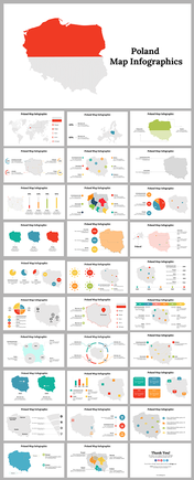
Mongolia Map Template PowerPoint and Google Slides
Mongolia Map Presentation Slide
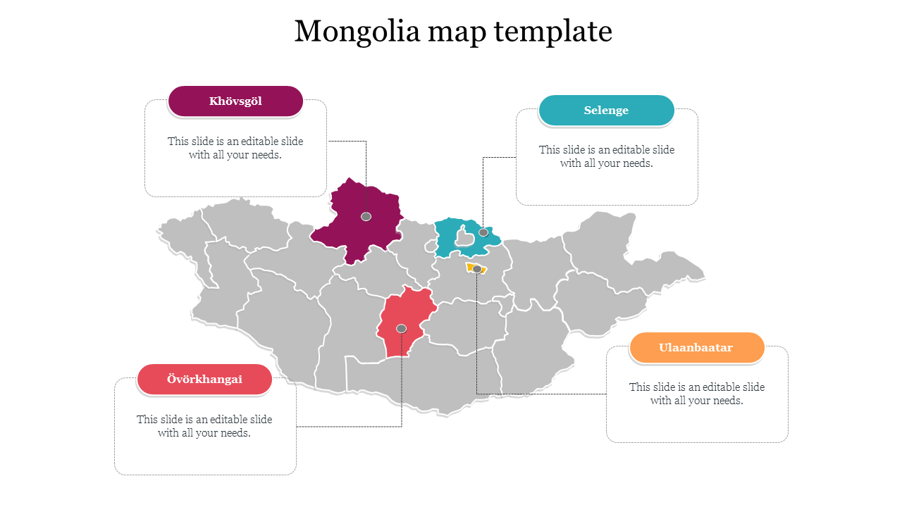
The Mongolia Map is a visual representation of the geography and topography of the country of Mongolia, which is located in East Asia. The map can provide important information about Mongolia's natural resources, climate, and physical features, as well as its major cities, transportation networks, and other significant landmarks. The capital city of Mongolia is Ulaanbaatar, which is located in the northern part of the country. If you need to explain something related to Mongolia, this infographic map template will surely help you. You can use this slide to inform about the demographics of the population, the use of social networks by Mongolian.
Features of the template
- 100% customizable slides and easy to download.
- Slides are available in different nodes & colors.
- The slide contains 16:9 and 4:3 formats.
- Easy to change the colors of the slide quickly.
- Well-crafted template with an instant download facility.
- Highly compatible with PowerPoint and Google Slides.
- Create a feature-rich slide presentation.
- It is a pre-built template to save your time and effort.
You May Also Like These PowerPoint Templates
Free
