Effective Mississippi On US Map Presentation Template
Mississippi On USA Map Presentation Slide
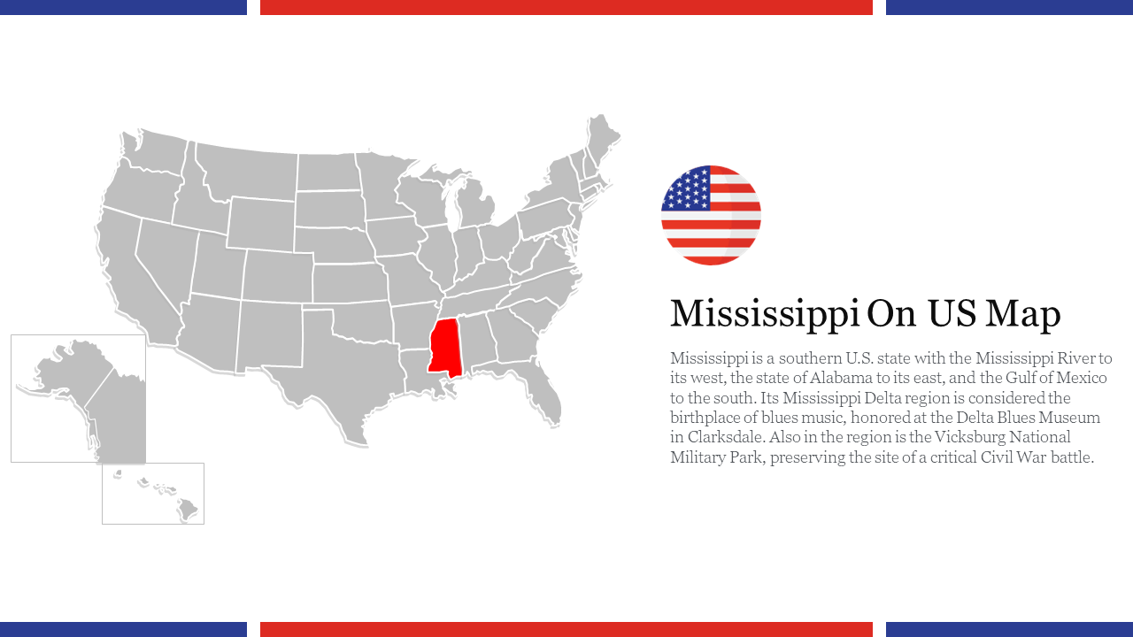
Mississippi is a state located in the southeastern region of the United States. On a US map, Mississippi is bordered by Tennessee to the north, Alabama to the east, the Gulf of Mexico and Louisiana to the south, and Arkansas and Louisiana to the west. A map of Mississippi can be used for a variety of purposes, such as educational presentations, travel planning, or business analysis. This template displays a map of the United States, with the state of Mississippi highlighted in a different color, making it easy to locate the state. It can be a useful tool for creating visually appealing and informative presentations about the state of Mississippi.
Features of the template:
- 100% customizable slide and easy to download.
- The slide contained in 16:9 and 4:3 formats.
- This slide has a colorful design pattern.
- Highly compatible with PowerPoint and Google Slides.
- Well-crafted template with instant download facility.
You May Also Like These PowerPoint Templates
Free
