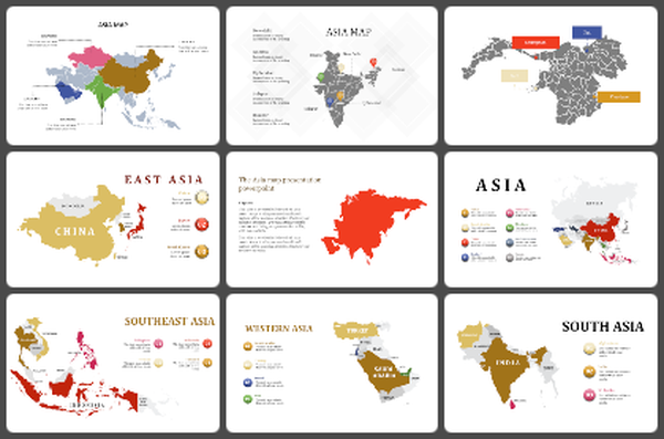
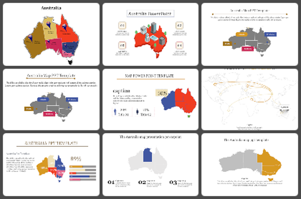
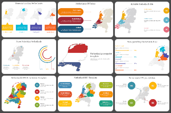
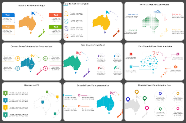
Get Our Minnesota Map PowerPoint And Google Slides
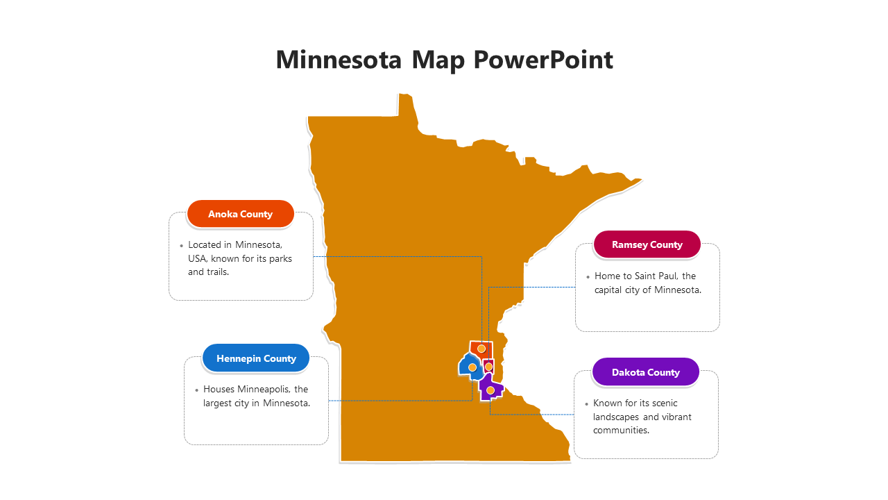
Creative Minnesota map PowerPoint template
Explore the concept of a Minnesota Map, a visual representation of the state of Minnesota that includes cities, counties, highways, landmarks, and geographic features. It provides a comprehensive overview of Minnesota's landscape and infrastructure, making it an invaluable tool for understanding the state's geography, demographics, and economic activity. Whether used for educational purposes, business planning, tourism promotion, or research, a Minnesota map provides valuable insights into the state's resources, places, and regional characteristics, fostering a deeper appreciation for Minnesota's unique identity and heritage. Educators, researchers, urban planners, business professionals, and travelers interested in Minnesota can benefit from this template. Minnesota Map Slides are very useful for presentations related to state studies, urban development plans, market analysis, tourism campaigns, or academic research. Its customizable features allow users to highlight specific areas, add labels or overlay data, improving clarity and relevance. With fully editable slides, presenters can tailor the diagram to their specific needs and preferences, ensuring accuracy and efficiency in their presentations. Benefits to the presenter include improved communication of Minnesota-related information, increased audience engagement and the ability to create visually appealing presentations that make a lasting impression. Embrace the Minnesota map template to showcase the beauty and diversity of Minnesota and captivate your audience with compelling visual representations of the state.
Features of this Template
- 100% customizable slides and easy to download.
- The slide contains 16:9 and 4:3 formats.
- Easy to change the colors of the slide quickly.
- Highly compatible with PowerPoint and Google Slides.
