Map Presentation PowerPoint Template for Clear Visuals
Canada Map PPT Template and Google Slides
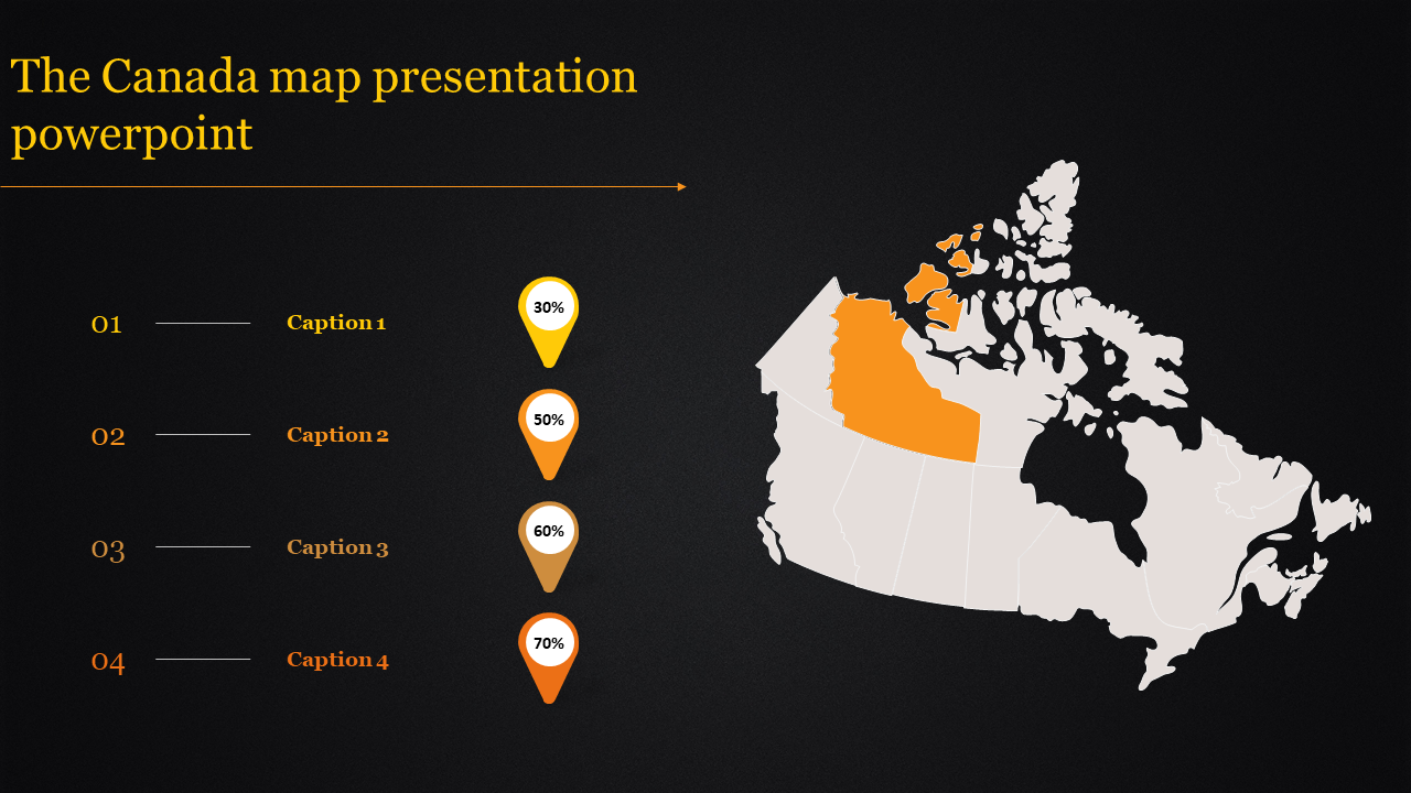
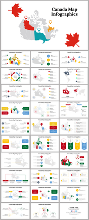
The "Canada Map PPT Template and Google Slides" is a powerful tool tailored for presentations related to Canadian geography, demographics, statistics, or any topic requiring the visualization of Canada's regions. The image features a map of Canada outlined in orange, with provinces and territories filled in varying shades of orange. Four orange circles with numbers complement the map, enhancing the visual appeal and providing additional data points.
This template is ideal for showcasing demographic data, regional statistics, economic analysis, tourism information, or any content related to Canada's geography and diversity.
Suitable for educators, researchers, government officials, business professionals, travel agencies, or anyone needing to present information about Canada in a visually engaging manner.
Compatible with PowerPoint and Google Slides. Available in "16:9" and "4:3" formats, as well as zip files for easy sharing. Free and fully customizable, allowing users to adjust colors, add or remove elements, and tailor content to specific needs. Start using this template today to create impactful presentations that effectively communicate information about Canada.
You May Also Like These PowerPoint Templates
Free
