Simple Jamaica Map PPT Template Presentation Slide
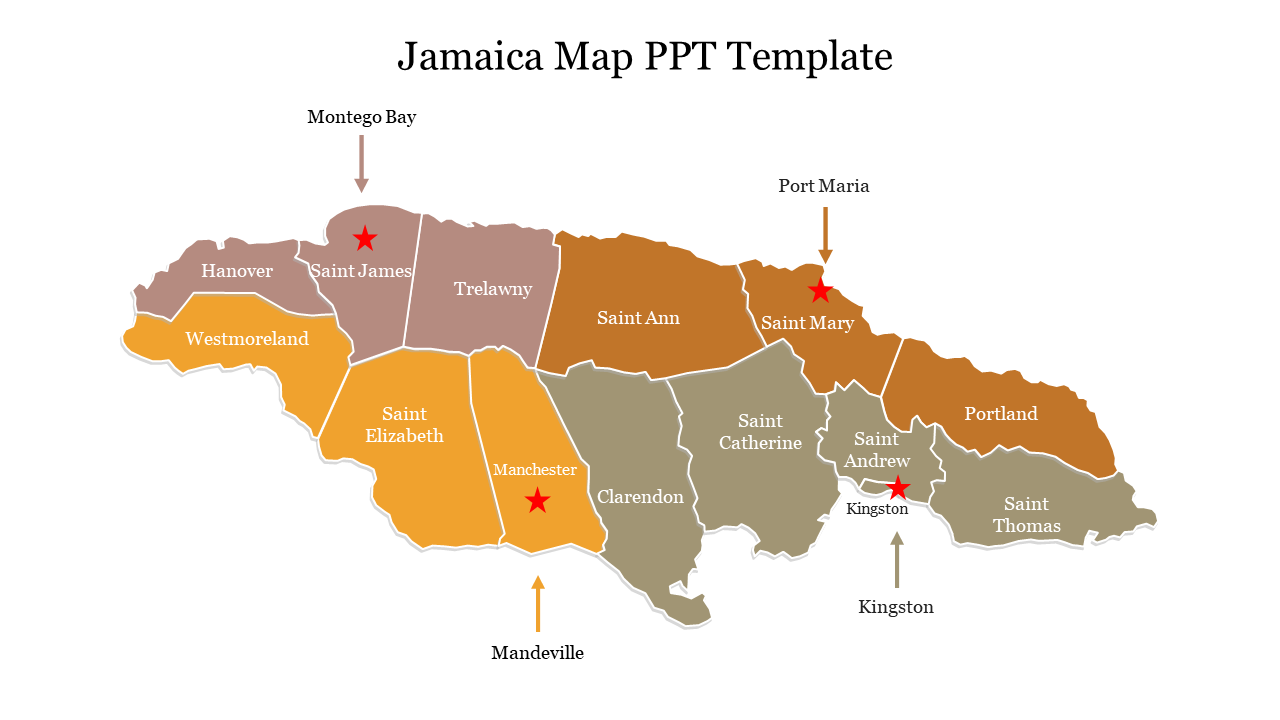
Jamaica Map Presentation Slide
A map of Jamaica is a visual representation of the island nation of Jamaica, located in the Caribbean Sea. The map typically displays the country's major cities, towns, rivers, mountains, and other geographical features. Jamaica is known for its tropical climate, stunning beaches, and lush rainforests. The map can be used for a variety of purposes, such as navigation, tourism, education, and research. It provides valuable information for travelers and researchers alike, allowing them to gain a better understanding of Jamaica's geography and culture. Using this template can help you to keep your audience engaged and interested throughout your presentation.
Features of the template:
- 100% customizable slide and easy to download.
- This slide has a colorful design pattern.
- The slide contains 16:9 and 4:3 format.
- Highly compatible with PowerPoint and Google Slides.
- Easy to change the slide colors quickly.
- Well-crafted template with instant download facility.
- Premium template with nominal cost price.
- Effective template with elegant outlook.
