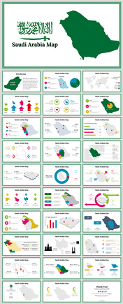
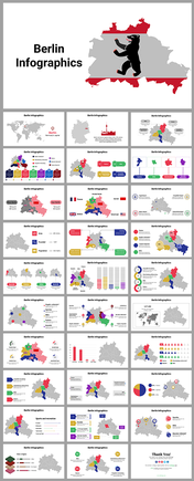
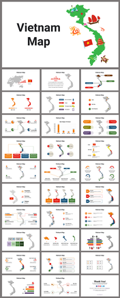
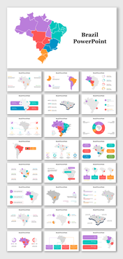
Editable Jamaica Map PowerPoint Presentation Template Slide
Editable Jamaica Map PowerPoint Presentation Template Slide
Make use of this Editable Jamaica Map PowerPoint Presentation Template Slide for all your geographically themed presentations. This is a proficiently well-made template. It is a user-friendly template.
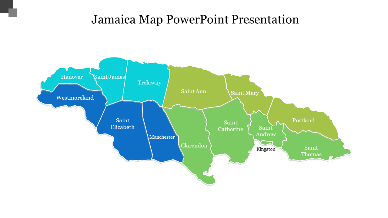
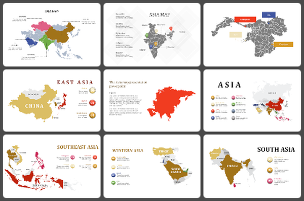
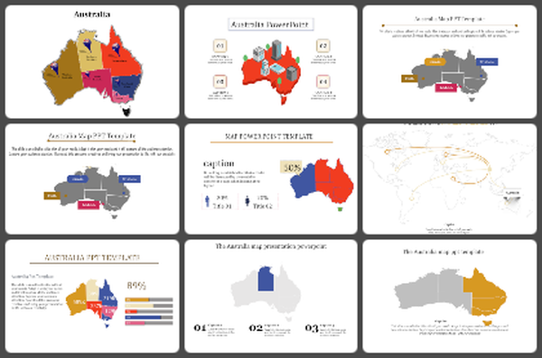
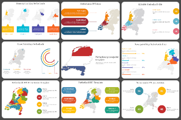
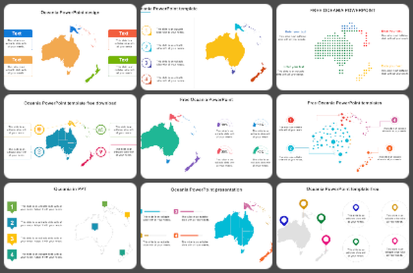
This Editable Jamaica Map PowerPoint Presentation Template Slide is one of the best and simple templates from Slideegg. Jamaica is the third-largest of the Caribbean islands. It is the largest English-speaking island in the Caribbean Sea. This template has the political outline map of Jamaica. The map outline is contrasted with four colors. They represent the four regions of the Jamaican region. This template is a handy tool for demographic surveys of a country’s socio-economic growth or a concentrated target market.
This elegant template helps you to make your audience retain your presentation throughout their life.
Features of this template:
- 100% customizable slides and easy to download.
- Slides available in different nodes & colors.
- The slide contained 16:9 and 4:3 format.
- Easy to change the slide colors quickly.
- Well-crafted template with instant download facility.
- Premium template at the most affordable price.
- Geographically themed template with vibrant outlook.
