Israel Political Map PowerPoint And Google Slides Themes
Israel Political Map Presentation Slides
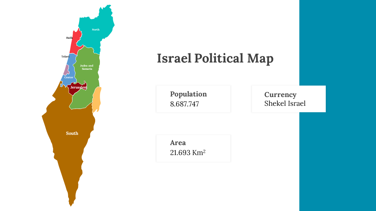
Explore the Israel Political Map PowerPoint template, a unique resource designed to provide a comprehensive visual representation of Israel's political landscape. This template, which is ideal for educators, researchers, and presenters, allows users to delve into the nation's administrative regions, borders, and electoral constituencies with ease, making it a must-have for those looking to enhance their understanding of Israel's political dynamics. All slides in the template are fully editable, offering flexibility for customization to specific needs. It simplifies complex political information, encourages insightful discussions, and saves time while maintaining audience engagement. The clear, informative layout ensures your message is communicated effectively, making it a valuable tool for delivering engaging and informative content. Don't miss out on the opportunity to leave a lasting impact with a visually captivating representation of Israel's political map, and elevate your presentations to a professional and informative level with this template.
Features of the template:
- 100% customizable slides and easy to download.
- Slides are available in different nodes & colors.
- The slide contained 16:9 and 4:3 formats.
- Easy to change the slide colors quickly.
- It is a well-crafted template with an instant download facility.
