Israel Map Printable PowerPoint And Google Slides Themes
Israel Map Printable Presentation Slides
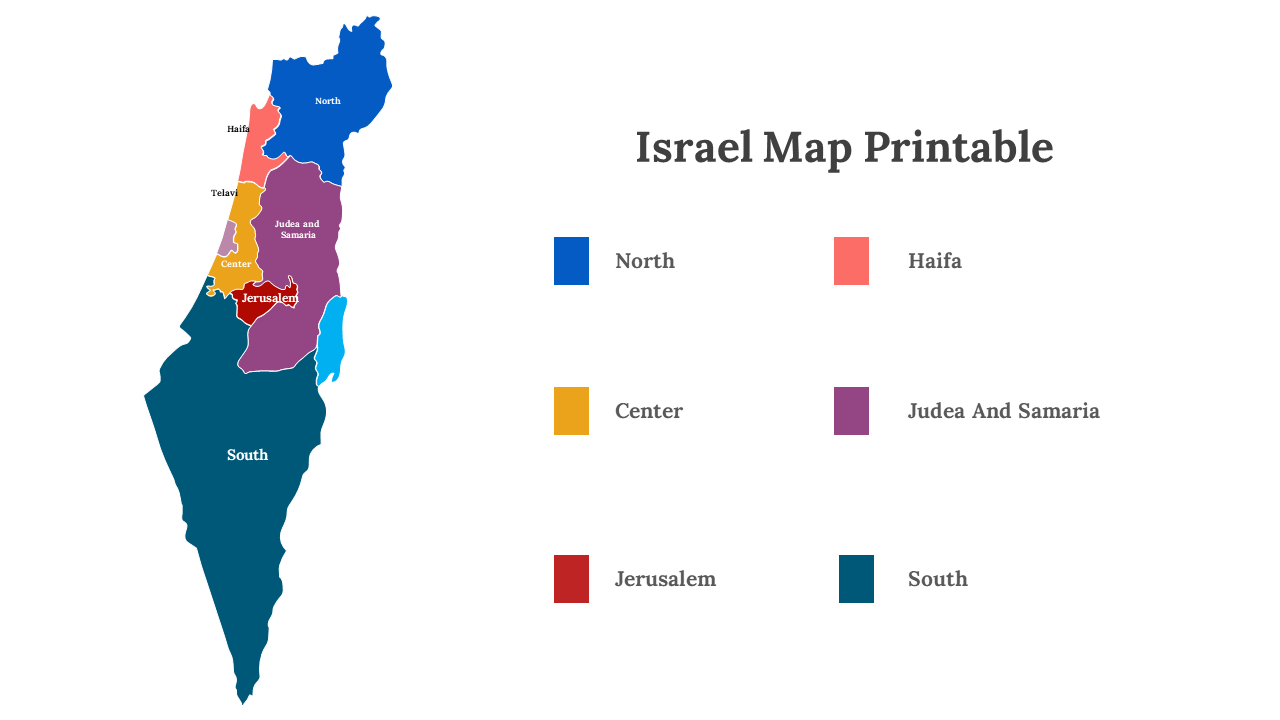
Israel Map Printable concept provides a versatile and customizable representation of Israel's geography, offering an easily accessible, tangible map for various applications. It simplifies access to geographic data, empowering educators, travelers, and business professionals to create informative, physical resources. Users can mark historical sites, plan itineraries, and develop engaging presentations with this fully editable template. By leveraging this tool, presenters can enhance the impact of their materials, making information more engaging and memorable. It transforms digital maps into practical, tangible resources, adapting Israel's geography to individual needs. Embrace the convenience and versatility of the Israel Map Printable concept, turning digital data into tangible, professional resources that effectively engage and inform your audience. Start making Israel's geography accessible and adaptable for your unique requirements today.
Features of the template:
- 100% customizable slides and easy to download.
- Slides are available in different nodes & colors.
- The slide contained 16:9 and 4:3 formats.
- Easy to change the slide colors quickly.
- It is a well-crafted template with an instant download facility.
