Israel Map Outline PowerPoint And Google Slides Template
Israel Map Outline Presentation Slides
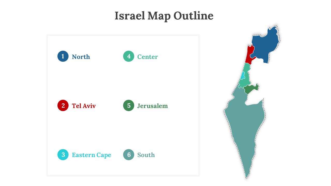
Israel Map Outline PowerPoint template offers a simple yet engaging representation of Israel's geographical boundaries. It serves as a versatile canvas for educators, students, researchers, business professionals, and travelers to explore Israel's geopolitical significance and cultural diversity. This outline is more than just lines; it's an invitation to understand what makes Israel exceptional. It simplifies the process of incorporating Israel's outline into presentations and reports, saving time and allowing for customization. With fully editable slides, this template ensures a professional and precise presentation of Israel's geographical boundaries, enhancing the impact of your content. By utilizing this template, you can captivate your audience, establishing yourself as an informed and engaging presenter. Seize the opportunity to showcase Israel's unique identity and make a lasting impression by using this template in your presentations and reports. Explore Israel's essence through its geographical outline with this template.
Features of the template:
- 100% customizable slides and easy to download.
- Slides are available in different nodes & colors.
- The slide contained 16:9 and 4:3 formats.
- Easy to change the slide colors quickly.
- It is a well-crafted template with an instant download facility.
You May Also Like These PowerPoint Templates
Free
Free
