GIS PowerPoint Template Presentation and Google Slides


Geographical Information System Presentation Slide:
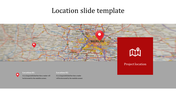
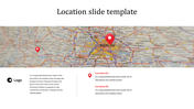
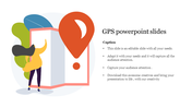
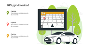
GIS stands for Geographic Information System. It is a system designed to capture, store, manipulate, analyze, manage, and present all types of spatial or geographical data. GIS integrates hardware, software, and data for capturing, managing, analyzing, and displaying all forms of geographically referenced information. GIS is used in many fields, including urban planning, environmental management, natural resource management, public health, transportation planning, and business. Attract your audience using this template and make it presentable.
Features of the template:
- 100 % customizable slides and easy to download.
- Slides available in different nodes & colors.
- The slide contained in 16:9 and 4:3 format.
- Easy to change the slide colors quickly.
- Template is available in different colors.
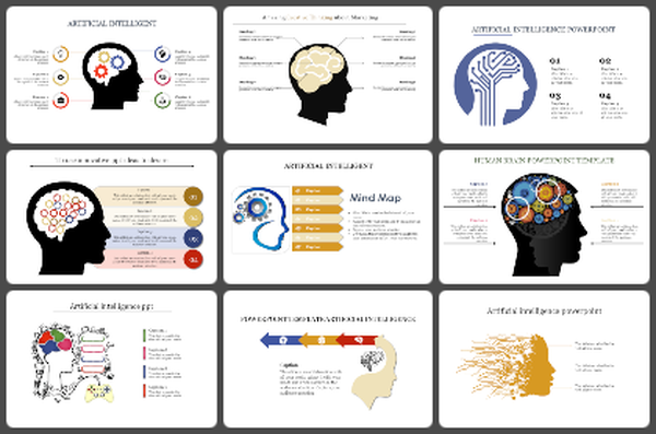


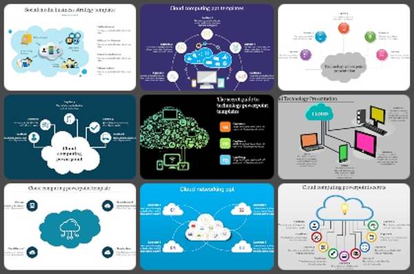


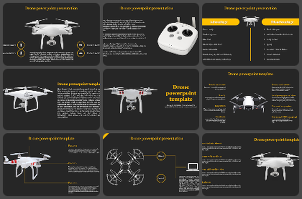
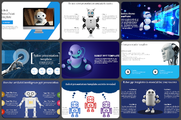
You May Also Like These PowerPoint Templates
Add to Wishlist
Download
AI Customize

Add to Wishlist
Download
AI Customize

Add to Wishlist
Download
AI Customize


Add to Wishlist
Download
AI Customize

Add to Wishlist
Download
AI Customize

Add to Wishlist
Download
AI Customize

Add to Wishlist
Download
AI Customize


Add to Wishlist
Download
AI Customize

Add to Wishlist
Download
AI Customize

Add to Wishlist
Download
AI Customize

Add to Wishlist
Download
AI Customize

Add to Wishlist
Download
AI Customize


Add to Wishlist
Download
AI Customize

Add to Wishlist
Download
AI Customize

Add to Wishlist
Download
AI Customize

Add to Wishlist
Download
AI Customize
