GIS PowerPoint Presentation Template and Google Slides
Get Custom Slides by Experts
Enhance Your Presentations with Add-ins
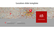
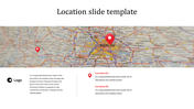
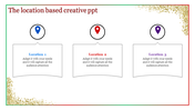
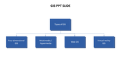
GIS Presentation Slide
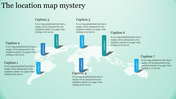
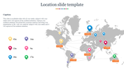
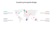
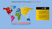
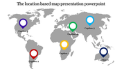
GIS stands for Geographic Information System. It is a system that captures, stores, analyzes, manages, and presents spatial or geographic data. It integrates different types of data, such as maps, satellite images, and survey data, to help users understand complex relationships, patterns, and trends. You can employ this versatile slide for various fields, such as environmental science, urban planning, emergency management, and transportation. Also picture the spatial data and analysis results effectively.
Features of the template
- 100% customizable slides and easy to download.
- Slides are available in different nodes & colors.
- The slide contains 16:9 and 4:3 formats.
- Easy to change the slide colors quickly.
- Well-crafted template with an instant download facility.
- Access on both MS PowerPoint and Google Slides.
- Vibrant graphics given.
- Single nodes featured slide.
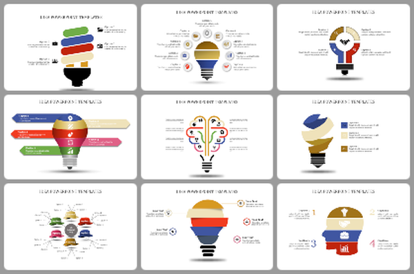
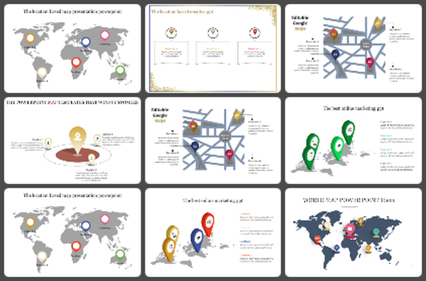
You May Also Like These PowerPoint Templates