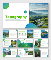
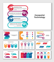
Geospatial Technology PPT And Google Slides Template
Geospatial Technology Presentation Slides
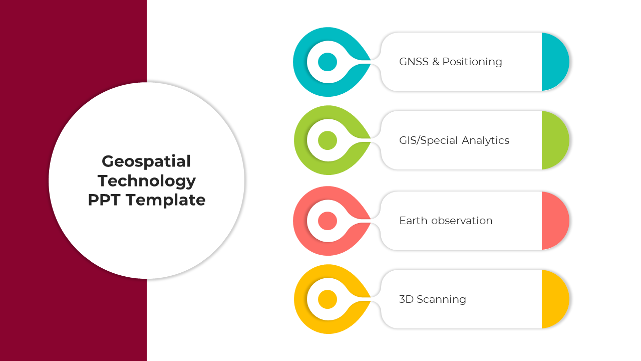
Geospatial Technology, a beacon in today's tech-driven era, seamlessly combines the Geographic Information System (GIS), Remote Sensing, and the Global Positioning System (GPS) to redefine our understanding of the world. More than just mapping, this domain harnesses the power of geographic knowledge, enabling us to capture, analyze, and visualize location-centric data. Urban planners, environmental scientists, and tech aficionados find immense value in this convergence. By grasping complex environmental patterns, optimizing urban blueprints, or enhancing transport logistics, geospatial tools like GIS and GPS are revolutionizing decision-making processes. This template, tailor-made for such professionals, offers an in-depth journey into geospatial technology's transformative world. Each editable slide ensures a clear conveyance of these intricate systems, igniting renewed passion in attendees for the vast potentials of geospatial applications. Dive in to enlighten and guide your audience through this fascinating intersection of geography and technology.
Features of the templates:
- 100% customizable slides and easy to download.
- Slides are available in different nodes & colors.
- The slide contained 16:9 and 4:3 formats.
- Easy to change the slide colors quickly.
- It is a well-crafted template with an instant download facility.
- Highly compatible with PowerPoint and Google Slides.
