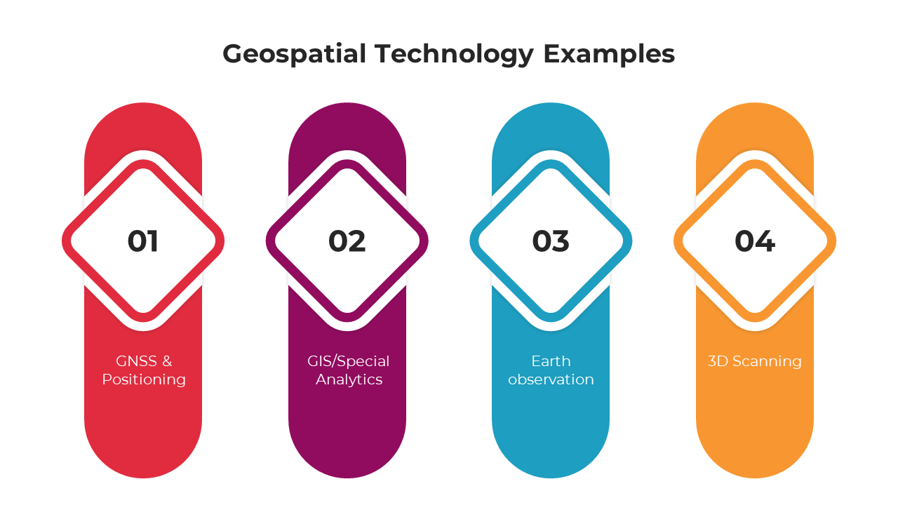
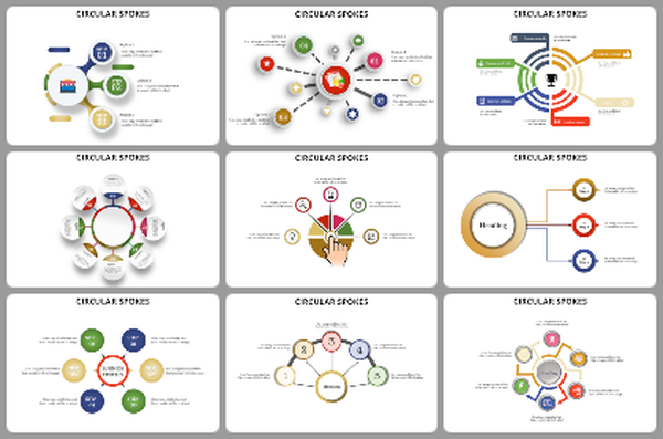
Free - Best Geospatial Technology Examples PPT And Google Slides
Geospatial Technology Examples Presentation Slides
In the confluence of geography and technology, "Geospatial Technology Examples" offer a vivid showcase of tools and techniques that shape our understanding of the world. These examples, ranging from satellite imagery and GPS tracking to Geographic Information Systems (GIS) and Remote Sensing, illustrate the profound impact of geospatial tools. Beyond mere visualization, these types of geospatial technology translate vast spatial data into actionable insights, aiding in informed decision-making and solution crafting. For educators, urban planners, and tech enthusiasts aiming to explore diverse examples of geospatial technology, a tailored template awaits. Meticulously designed, it takes viewers on an insightful journey, unveiling the depth and breadth of geospatial applications. Beyond merely presenting, this resource immerses the audience in the captivating world of geospatial innovations. Dive in, and illuminate the myriad ways geospatial technology examples are revolutionizing our interaction with the Earth's expanse.
Features of the templates:
- 100% customizable slides and easy to download.
- Slides are available in different nodes & colors.
- The slide contained 16:9 and 4:3 formats.
- Easy to change the slide colors quickly.
- It is a well-crafted template with an instant download facility.
- Highly compatible with PowerPoint and Google Slides.
