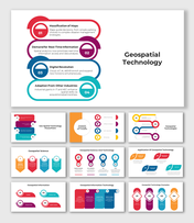
Best Geospatial Science And Technology PPT And Google Slides
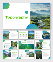
Geospatial Science And Technology Presentation Slides
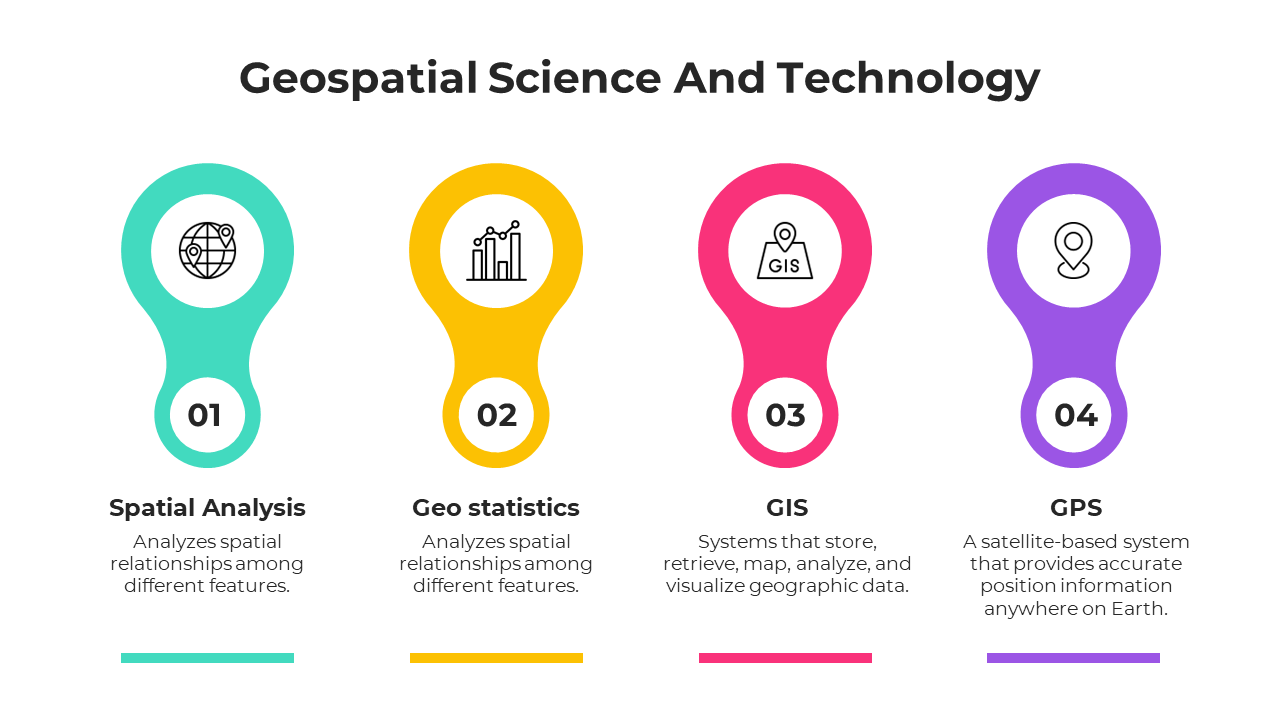
In today's interconnected world, Geospatial Science and Technology stands as an essential framework, illuminating our understanding of the environment. This blend of geography and advanced technology facilitates the capture and analysis of data linked to Earth's spatial relationships, offering far more than mere map plotting. Uses of geospatial technology are vast, revealing patterns crucial for environmental monitoring and predicting trends vital for disaster management. It's a nexus of data and insights, playing a pivotal role in fields like urban planning and conservation. For stakeholders in urban development and the rapidly growing realm of geographic information systems, this template is a beacon. Each slide, clear and adaptable, succinctly conveys the nuances of geospatial advancements, propelling attendees on a journey into the depth of geospatial applications. By leveraging this template, you not only elevate your discourse but inspire audiences to delve deeper into the transformative potential of geospatial technology.
Features of the templates:
- 100% customizable slides and easy to download.
- Slides are available in different nodes & colors.
- The slide contained 16:9 and 4:3 formats.
- Easy to change the slide colors quickly.
- It is a well-crafted template with an instant download facility.
- Highly compatible with PowerPoint and Google Slides.
