Incredible Geospatial Science PowerPoint And Google Slides
Geospatial Science Presentation Slides
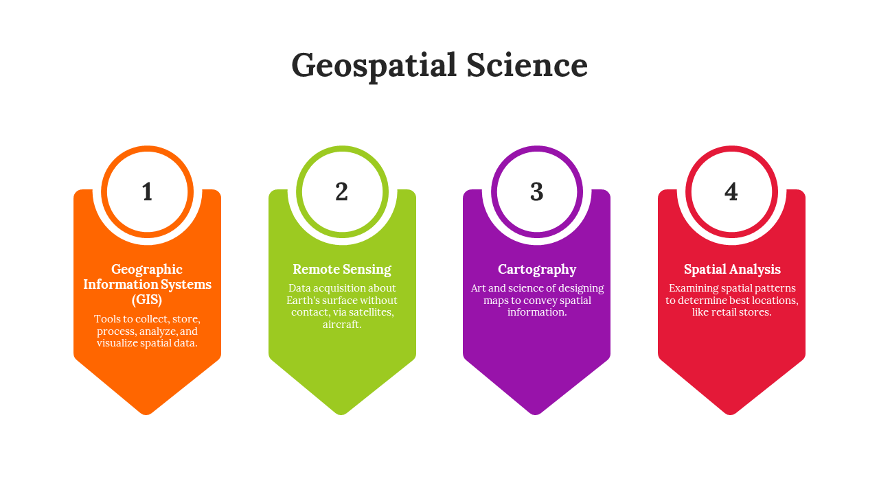
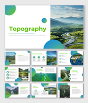
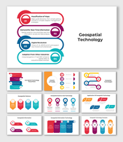
In the interdisciplinary realm of Geospatial Science, geography synergizes with advanced technology, integrating elements of geographic information science, remote sensing, and cartography. This field adeptly captures and analyzes Earth's spatial data, transcending traditional mapping to offer profound insights into phenomena like environmental shifts and urbanization. Geospatial science, an ever-evolving discipline, decodes Earth's intricacies and predicts emergent patterns, thereby informing sustainable decisions across diverse sectors. For geographers, urban planners, and environmental scientists, this template offers an immersive toolkit. Meticulously crafted, it delves into the expansive spectrum of geospatial science, blending striking visuals with salient data points. Each slide, tailored for precision, is fully editable, ensuring your narrative's coherence. Viewers are not just passive recipients; they journey through the transformative realms of remote sensing, cartography, and geographic applications. Harness this template, spark enthusiasm, and lead your audience into the captivating world of geospatial intricacies.
Features of the templates:
- 100% customizable slides and easy to download.
- Slides are available in different nodes & colors.
- The slide contained 16:9 and 4:3 formats.
- Easy to change the slide colors quickly.
- It is a well-crafted template with an instant download facility.
- Highly compatible with PowerPoint and Google Slides.
