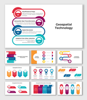
Best Geospatial Information Technology PPT And Google Slides
Geospatial Information Technology Presentation Slides
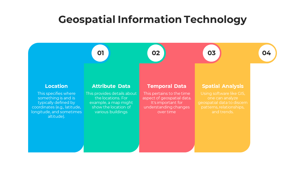
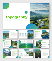
Geospatial Information Technology (GIT), a key aspect of geographic information systems and science, is revolutionizing the way we interpret geographic data. Think of it as a technophile of modern maps that provide a dynamic visualization of the complex relationships between objects and locations. Be it urban planning, environmental science, or predicting climate changes, GIT's brilliance lies in designing comprehensive insights. Our information technology template is designed for professionals developing geospatial data, simplifying the complexities of GIT. Each editable slide is designed to resonate with your message, positioning you as a geospatial authority. Go to meetings with a compelling presentation that summarizes the transformative essence of geographic information science and systems, not presenting data. Present with confidence, engage in real-time and inspire confidence with our GIT template. Immerse yourself in this spatial journey and harness the power of geographical discoveries.
Features of the templates:
- 100% customizable slides and easy to download.
- Slides are available in different nodes & colors.
- The slide contained 16:9 and 4:3 formats.
- Easy to change the slide colors quickly.
- It is a well-crafted template with an instant download facility.
- Highly compatible with PowerPoint and Google Slides.
