Free - Download Our Korea PowerPoint And Google Slides Template
Exclusive Korea Map PowerPoint Template
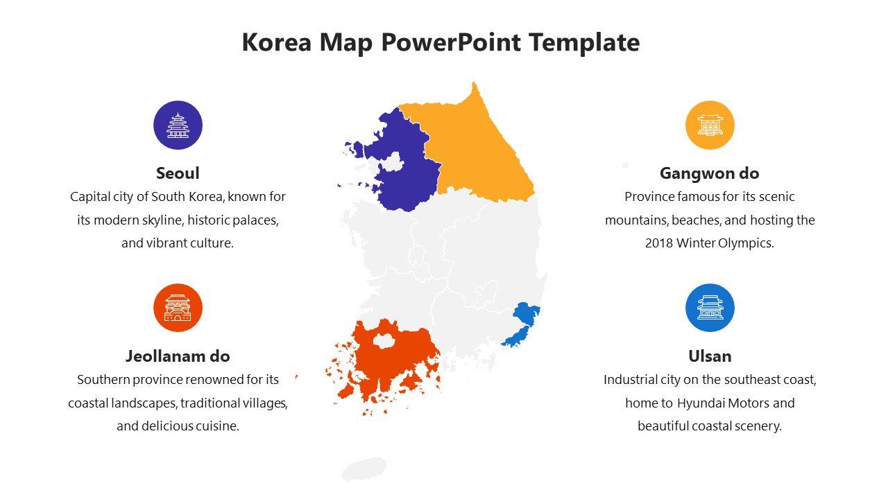
Korea Map provides a detailed graphical representation of geographic features, regions, and cities in South Korea and North Korea. It provides an insightful overview of the country's topography, including mountains, rivers, coasts, administrative divisions and major urban centers. Valuable for educational, business, and research purposes, the map serves as a visual reference for studying geographic data, planning travel routes, and interpreting regional demographic and economic trends. Students, educators, researchers, travel agencies, and business professionals can use this template to create informative slide or reports on Korea's geography, demographics, tourism, or market analysis. The customizable slide deck includes detailed maps of South Korea and North Korea, allowing users to highlight specific regions, cities or points of interest to suit their content needs and style. With fully editable slides, presenters can enhance their slide, convey information effectively and engage their audience with dynamic visual aids, empowering them to create compelling slide that inform and engage their audience.
Features of this Template
- 100% customizable slides and easy to download.
- The slide contains 16:9 and 4:3 formats.
- Easy to change the colors of the slide quickly.
- Highly compatible with PowerPoint and Google Slides.
