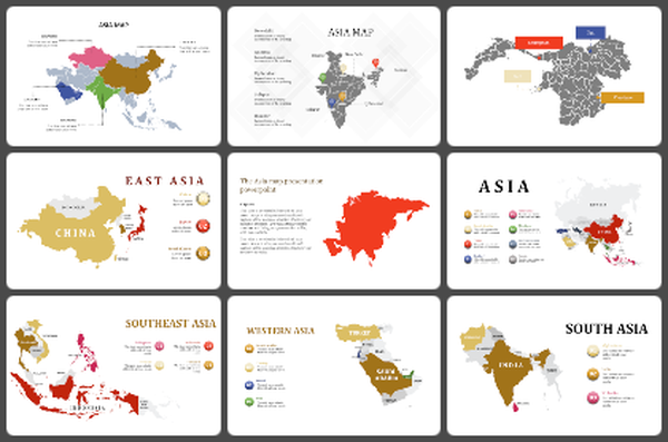
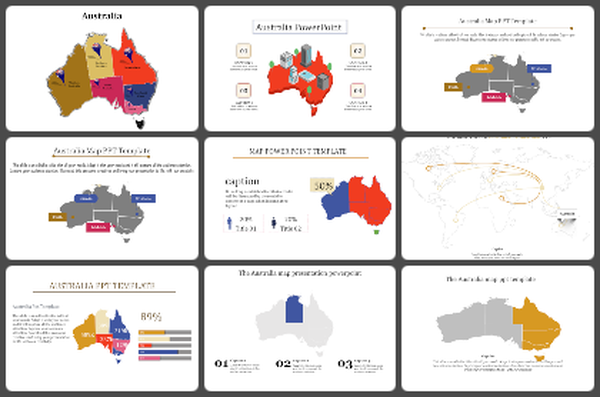
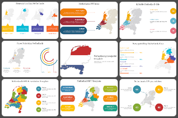
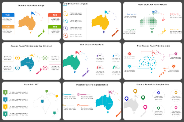
Animated Europe map PowerPoint template for Presentation
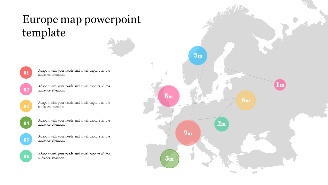
Europe Map Presentation Slide
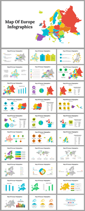
Europe is a continent situated in the Northern Hemisphere, bordered by the Arctic and Atlantic Oceans and the Mediterranean Sea. It has 44 countries, making it the third most populous continent after Asia and Africa. A Europe map displays the geography and political boundaries of the continent, used for educational, navigational, planning, political analysis, marketing, and sales purposes. Europe map templates can be used to create customized maps for various purposes, such as teaching geography, planning travel routes, analyzing sales territories, and identifying potential markets.
Features of this template:
- 100 % customizable slides and easy to download.
- The slide contained in 16:9 and 4:3 format.
- Well-crafted template with instant download facility.
- The clear layout of this template will help you to design a professional-looking presentation.
- The multi-color visuals of this slide will make your presentation eye-catching.
