Creative US Map Presentation And Google Slides Themes
Editable US Map Presentation Slides
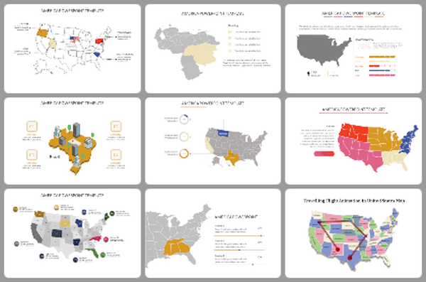
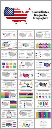
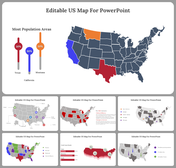
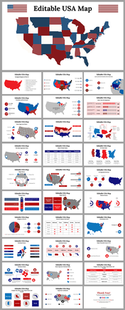
A US map is a useful tool for showcasing a variety of information, such as regional demographics, sales territories, or election results. It can also be used to illustrate geographic data such as population density or climate zones. A good US map slide should be clear, easy to read, and include state boundaries, names, and possibly major cities. Consider using different colors or shading to highlight certain areas of interest. A well-designed template can save time and ensure consistency across multiple slides or presentations.
Features of this templates
- 100% customizable slides and easy to download.
- The slide contains 16:9 and 4:3 formats.
- Easy to change the colors of the slide quickly.
- Highly compatible with PowerPoint and Google Slides.
You May Also Like These PowerPoint Templates
Free


