DOWNLOAD EDITABLE RUSSIA POWERPOINT TEMPLATES FREE
Editable Russia Map Presentation
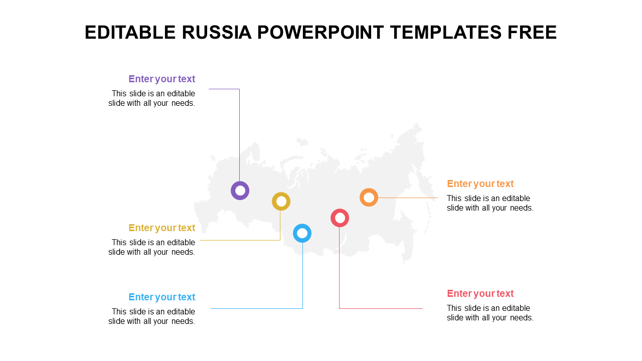
The map of Russia is the geographic representation of the world's largest country. Russia is located in northern Eurasia, and its territory spans over 17 million square kilometers, making it the largest country in the world by land area. The country is home to a diverse range of landscapes, including the vast Siberian forests, the rugged Ural Mountains, and the fertile plains of the European part of the country. Major cities on the map of Russia include Moscow, the capital and cultural hub of the country, and St. Petersburg, a historic city known for its art and architecture. The country is also home to many rivers and bodies of water, including the Volga River and the Caspian Sea. These presentation slides are designed to be easy to use, even if you have limited experience with presentation software.
Feature of this template:
- 100% customizable slides and easy to download.
- The slide contained 16:9 and 4:3 formats.
- Well-crafted template with an instant download facility.
- Highly Compatible with PowerPoint.
- This slide has a colorful design pattern.
- Easy to change the slide's colors.
