Editable Ireland PowerPoint Templates For Presentation
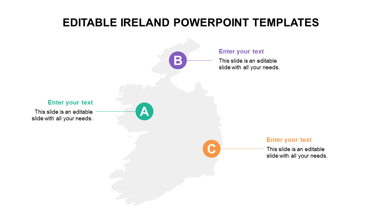
Colorful Ireland map design template
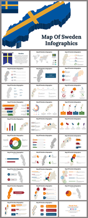
West of Great Britain is where you'll find the second-largest island in the British Isles. With the help of this map template, you can show a three-node map of Ireland and its numerous regions. You can also use it to highlight particular portions of the map by altering the colour or size of a region. You can use this PPT as an excellent tool to make your geography teaching more engaging. This Ireland PowerPoint is a fantastic method to engage kids in the unique culture of Ireland. For PowerPoint, download the Editable Ireland Map Template.
Features of the template
- 100% customizable slides and easy to download.
- Slides are available in different nodes & colors.
- The slide contained 16:9 and 4:3 formats.
- Easy to change the slide colors quickly.
- Well-crafted template with instant download facility.
- It has a clean image map design PPT.
