Free - Canada Map PowerPoint Template and Google Slides
Canada Map PowerPoint Template and Google Slides
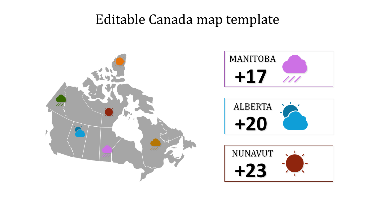
Introducing the "Canada Map PowerPoint Template and Google Slides": A dynamic tool designed to showcase Canadian geography and weather data with clarity and precision. Featuring a detailed map of Canada divided into three regions - Manitoba, Alberta, and Nunavut - accompanied by weather icons and temperatures, this template offers a comprehensive visual representation of the country's diverse climate.
This template is perfect for educators, travel agencies, business professionals, and meteorologists seeking to educate, inform, or analyze Canadian regions and weather patterns. Whether used in classrooms, business meetings, travel planning sessions, or meteorological presentations, it provides a valuable resource for illustrating geographical and climatic insights.
Compatibility with PowerPoint and Google Slides. Available in 16:9 and 4:3 aspect ratios, catering to different screen sizes and presentation preferences. Provided in ZIP format for easy sharing and distribution. Free template with 100% customizable features. Download now.
