Comparison Country Map Presentation PPT and Google Slides
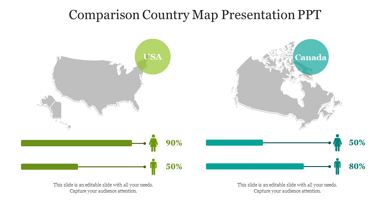
USA and Canada Comparison PPT Slide with Map
The United States of America and Canada are two neighbouring countries located in North America. Both countries share a long and peaceful border, which is the longest international border in the world. While the United States is the world's largest economy and has the world's most powerful military, Canada is known for its natural beauty, multiculturalism, and the universal healthcare system. While both nations share a border, they differ in several ways, such as geography, culture, history, and government structure.
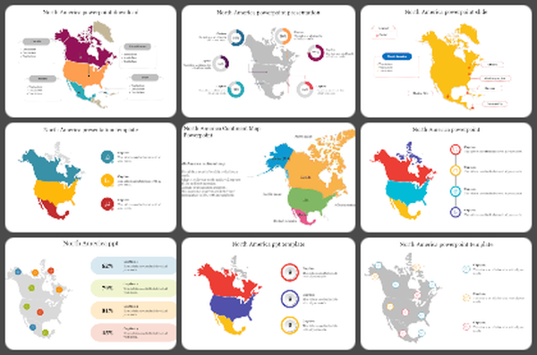
Slide Egg provides a versatile slide with the USA and Canada countries' map silhouettes, that helps to present the different features of the two countries clearly and concisely. The map silhouettes help to highlight the unique geographic features of each country, while also making it easy to compare their sizes and borders. Additionally, the graphics picture each country's cultural and historical landmarks, providing a visual representation of their distinct identities.
Features of the template
- 100% customizable slides and easy to download.
- Slides are available in different nodes & colors.
- The slide contains 16:9 and 4:3 formats.
- Easy to change the slide colors quickly.
- Well-crafted template with an instant download facility.
- Access on both MS PowerPoint and Google Slides.
- Maps of two countries added.
- Elegant node and graphics setup.
