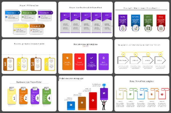
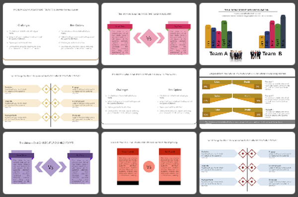
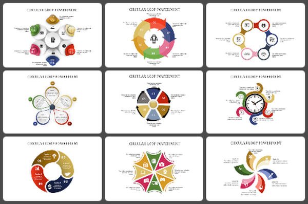
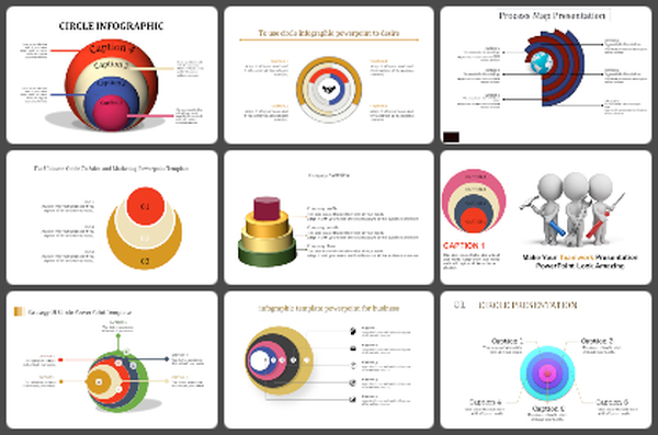
Editable 3D Globe Model PowerPoint Presentation Slide
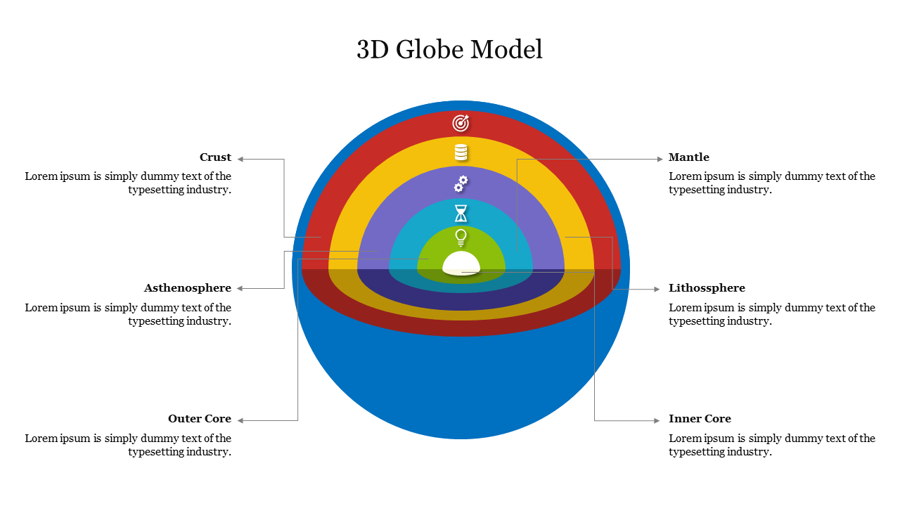
3D Globe Model Presentation Slide
A 3D globe model can be a powerful tool for visualizing and communicating geographic data. These models can be used in a variety of settings, such as educational presentations, business reports, or scientific research. They can be customized to include a range of features, such as topographical data, geopolitical boundaries, and climate information. Using the slide will help you to create a sense of depth and perspective, making it easier for audiences to understand complex spatial relationships.
Features of the Template:
- 100% customizable slide and easy to download.
- The slide contained in 16:9 and 4:3 formats.
- This slide has a colorful design pattern.
- Highly compatible with PowerPoint and Google Slides.
- Drag and drop image placeholder.
- Well-crafted template with instant download facility.
- It is designed with a stunning theme design.
- Best Infographic Template for global presentations.
